Transport Functions
Road
Multimodal
Hub Profile
Place type
Populated place
Region
Munster
Time zone
Europe/Dublin
Elevation
62 m
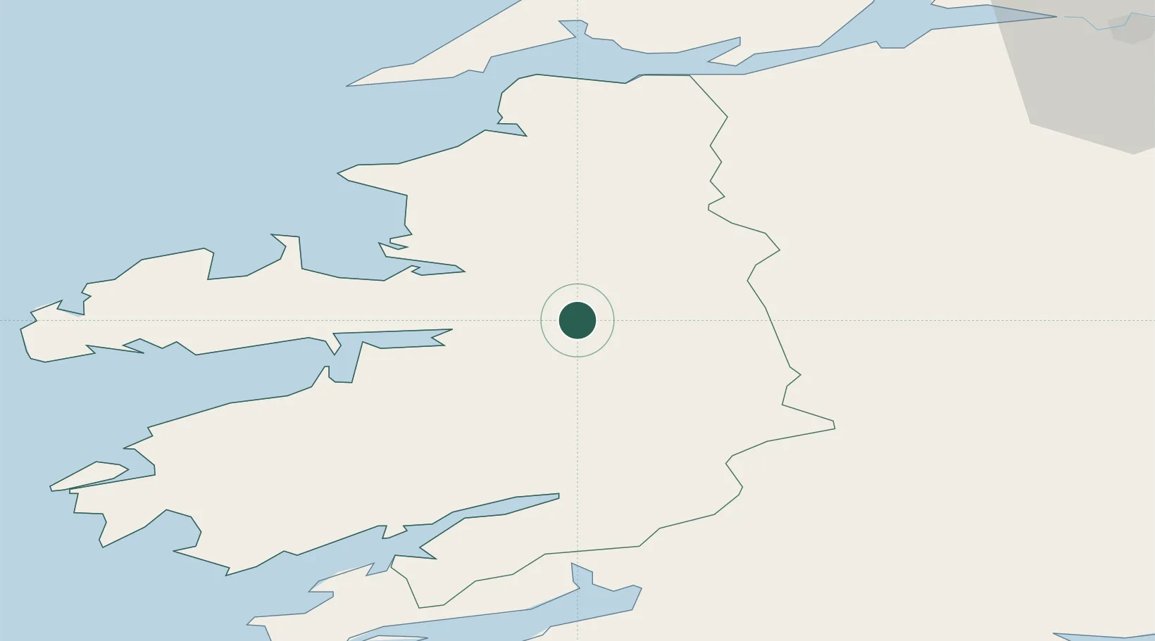
Location
Nearby Logistics Neighbours
Cities
- 1Castleisland9 km
- 2Fenit24 km
- 3Glengarriff46 km
- 4Cahirciveen52 km
- 5Bantry Harbour54 km
Airports
- 1Kerry Airport2 km
- 2Shannon Airport73 km
- 3Cork International Airport81 km
- 4Inisheer Aerodrome100 km
- 5Inishmaan Aerodrome103 km
Trade Zones
DatabookThe Record of Consolidated Knowledge
Ireland beyond logistics?