Small airport · Ireland

Inishmore AerodromeEIIM
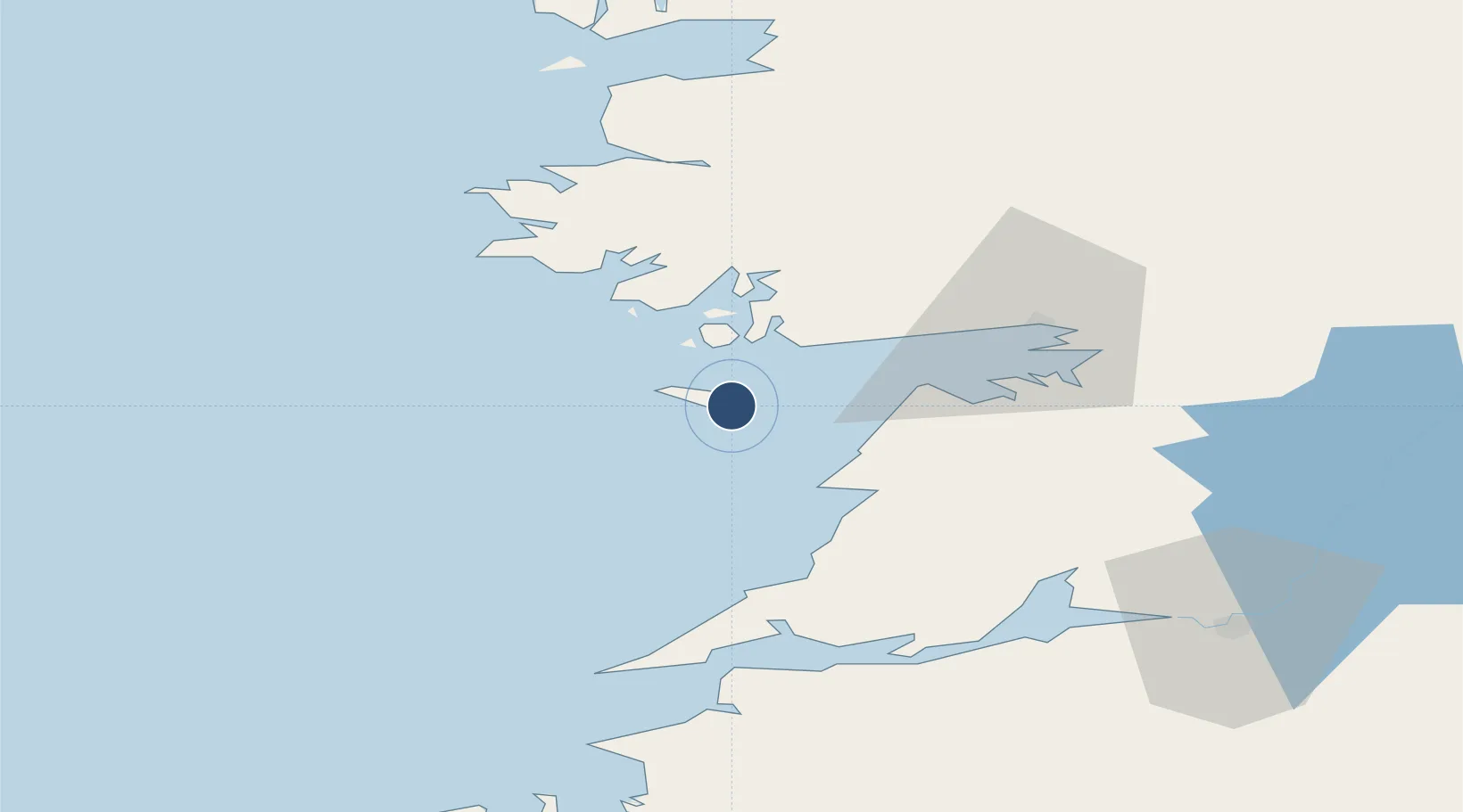
53.1067°, -9.6536°
520 ft
Longest runway
1
Runways
24 ft
Elevation

Runway & Layout

Inishmore Aerodrome runway & taxiway layout
Runway & taxiway layout — OpenStreetMap (ODbL) / OurAirports

Radio Frequencies

Radio
123 MHz
OurAirports

Runways · 1

RunwayDimensions SurfaceTrue headingLit
14/32 520 × 18ft Unknown
OurAirports

Airport Specifications

IATA code
IOR
OurAirports
ICAO code
EIIM
OurAirports
Airport class
Small airport
OurAirports
Scheduled service
Yes
OurAirports
Runway surface
Unknown
OurAirports
Served city
Inis Mór
OurAirports

Location

Location of EIIM
Natural Earth 10m (public domain) · Clare · EIIM · 53.11, -9.65GoogleOSMYandex

Nearby Logistics Neighbours

Airports
  1. 1Inishmaan Aerodrome6 km
  2. 2Inisheer Aerodrome11 km
  3. 3Connemara Regional Airport19 km
  4. 4Shannon Airport66 km
  5. 5Kerry Airport103 km
Nearest neighbours — logibook spatial index (haversine) over the source coordinates
Cities
  1. 1Kilronan1 km
  2. 2Rossaveel19 km
  3. 3Kilkieran24 km
  4. 4Ennistymon31 km
  5. 5Kilmurry37 km
Nearest neighbours — logibook spatial index (haversine) over the source coordinates
Ports
  1. 1Galway44 km
  2. 2Kilrush54 km
  3. 3Tarbert61 km
  4. 4Foynes65 km
  5. 5Westport78 km
Nearest neighbours — logibook spatial index (haversine) over the source coordinates
Trade Zones
  1. 1Shannon Free Zone68 km
  2. 2Dublin International Financial Services Centre228 km
  3. 3Isle of Man Free Zone and Business Park349 km
  4. 4Prestwick Airport Free Zone422 km
  5. 5Cornwall Newquay Aerohub Enterprise Zone437 km
Nearest neighbours — logibook spatial index (haversine) over the source coordinates
DatabookThe Record of Consolidated Knowledge
Ireland beyond logistics?
Browse databook

All Sources

AirportsOurAirports
Public domain
Portsthe NGA World Port Index
Public domain (US gov)
LocationsUN/LOCODE
UN/LOCODE — free
Trade Zonesthe World Bank SEZ database
CC BY 4.0
Trade ZonesOpen Zone Map
CC BY
InfrastructureOpenStreetMap
ODbL 1.0
← Ireland airports