Economic Revitalization Project · United Kingdom

Cornwall Newquay Aerohub Enterprise Zone Active
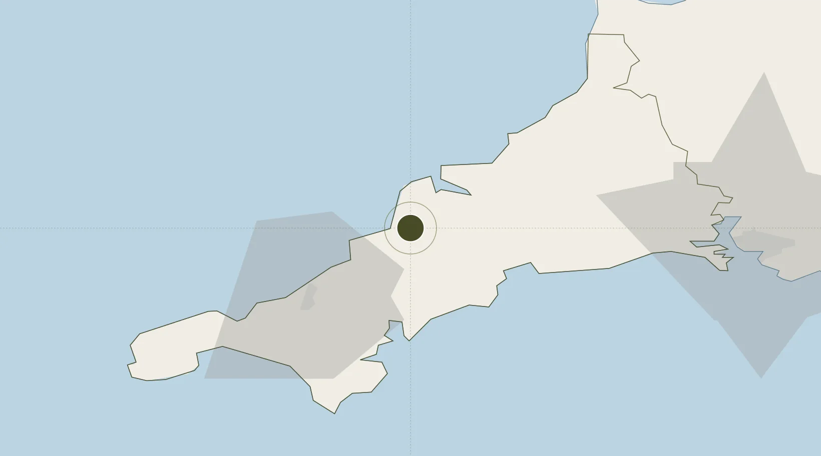
50.4304°, -4.9985°
20 ha
Zone area
14.1 km
Nearest port
1.2 km
Nearest airport

Gateway access

Nearest neighbours — logibook spatial index (haversine) over the source coordinates

Zone profile

Zone type
Economic Revitalization Project
Open Zone Map
Region
Cornwall
Open Zone Map
Status
Active
Open Zone Map
Management
Public-Private Partnership
Open Zone Map
Operator
Cornwall Development Corporation Ltd.
Open Zone Map
Legal framework
Local Government, Planning and Land Act 1980
Open Zone Map

Location

Location of ozm-4673
Natural Earth 10m (public domain) · Cornwall · ozm-4673 · 50.43, -5.00GoogleOSMYandex

Nearby Logistics Neighbours

Ports
  1. 1Padstow14 km
  2. 2Charlestown21 km
  3. 3Par23 km
  4. 4Mevagissey24 km
  5. 5Fowey Harbour28 km
Nearest neighbours — logibook spatial index (haversine) over the source coordinates
Airports
  1. 1Cornwall Airport Newquay1 km
  2. 2RNAS Culdrose42 km
  3. 3Penzance Heliport50 km
  4. 4Land's End Airport60 km
  5. 5Hartland Point Heliport74 km
Nearest neighbours — logibook spatial index (haversine) over the source coordinates
Cities
  1. 1Saint Columb Major5 km
  2. 2Summercourt9 km
  3. 3Rejerrah11 km
  4. 4Irby13 km
  5. 5Ladock13 km
Nearest neighbours — logibook spatial index (haversine) over the source coordinates
Trade Zones
  1. 1Oceansgate Plymouth58 km
  2. 2Heart of the South West Enterprise Zone64 km
  3. 3Exeter & East Devon Enterprise Zone114 km
  4. 4Dorset Innovation Park196 km
  5. 5Bristol Temple Quarter Enterprise Zone204 km
Nearest neighbours — logibook spatial index (haversine) over the source coordinates
DatabookThe Record of Consolidated Knowledge
United Kingdom beyond logistics?
Browse databook

All Sources

Trade ZonesOpen Zone Map
CC BY
Portsthe NGA World Port Index
Public domain (US gov)
AirportsOurAirports
Public domain
LocationsUN/LOCODE
UN/LOCODE — free
← United Kingdom trade zones