Transport Functions
Port
Road
Hub Profile
Place type
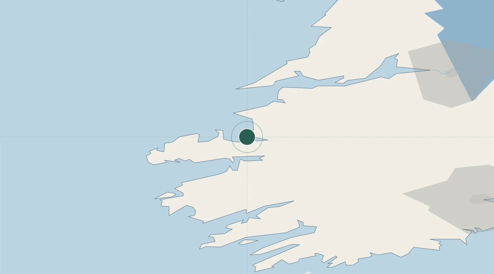
Populated place
Region
Munster
Population
538
Time zone
Europe/Dublin
Elevation
3 m
Location
Nearby Logistics Neighbours
Cities
- 1Farranfore24 km
- 2Castleisland28 km
- 3Ballydavid33 km
- 4Wedlenstedt36 km
- 5Cahirciveen43 km
Ports
- 1Kilrush48 km
- 2Tarbert49 km
- 3Foynes64 km
- 4Castletown Bearhaven69 km
- 5Bantry71 km
Airports
- 1Kerry Airport25 km
- 2Shannon Airport80 km
- 3Inisheer Aerodrome92 km
- 4Inishmaan Aerodrome94 km
- 5Inishmore Aerodrome95 km
Trade Zones
DatabookThe Record of Consolidated Knowledge
Ireland beyond logistics?