Small airport · Ireland

Inishmaan AerodromeEIMN
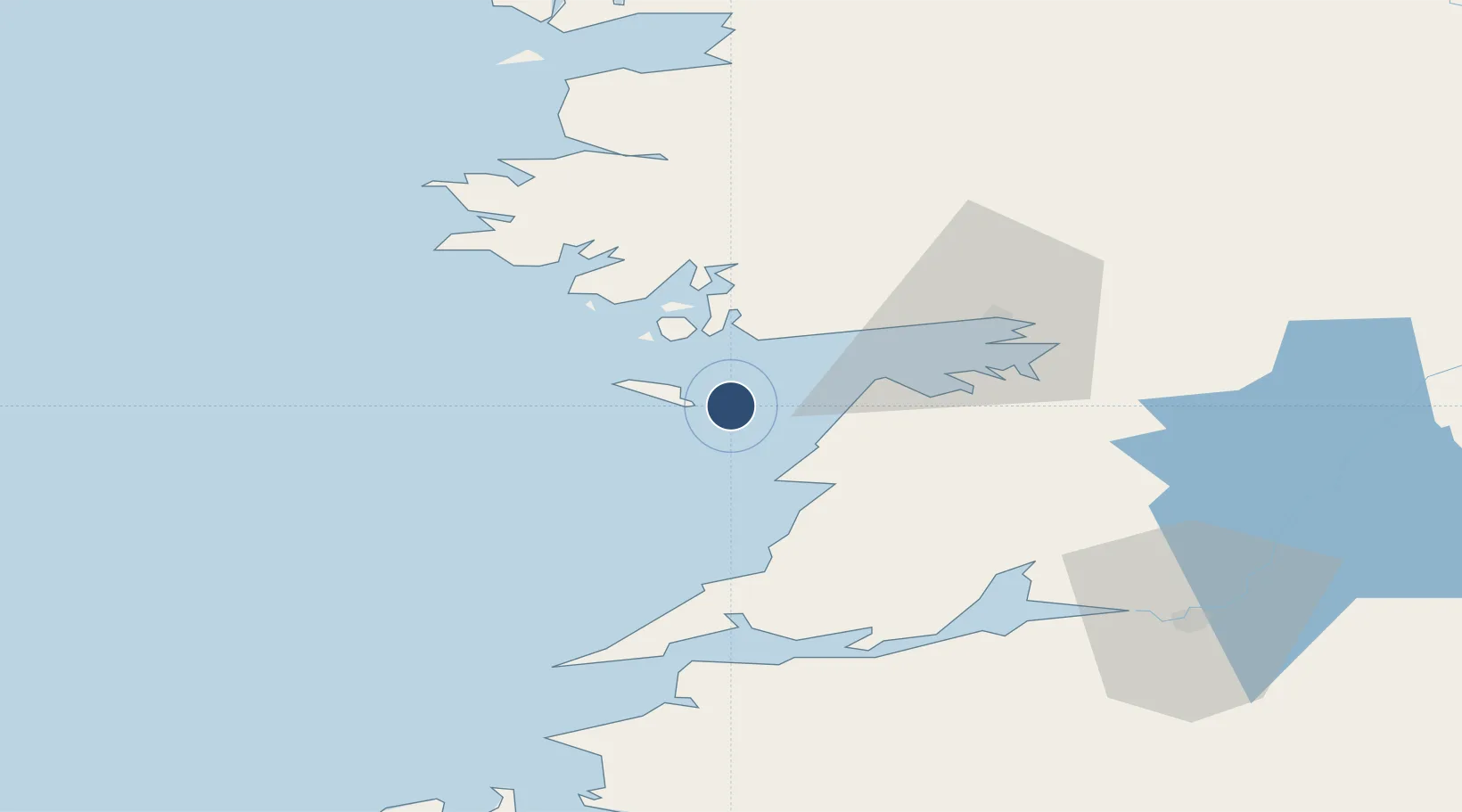
53.0930°, -9.5681°
1,791 ft
Longest runway
2
Runways
15 ft
Elevation

Runway & Layout

Inishmaan Aerodrome runway & taxiway layout
Runway & taxiway layout — OpenStreetMap (ODbL) / OurAirports

Runways · 2

RunwayDimensions SurfaceTrue headingLit
15/33 1,791 × 65ft Bituminous
05/23 869 × 65ft
OurAirports

Airport Specifications

IATA code
IIA
OurAirports
ICAO code
EIMN
OurAirports
Airport class
Small airport
OurAirports
Scheduled service
Yes
OurAirports
Runway surface
Bituminous
OurAirports
Served city
Inis Meáin
OurAirports

Location

Location of EIMN
Natural Earth 10m (public domain) · Clare · EIMN · 53.09, -9.57GoogleOSMYandex

Nearby Logistics Neighbours

Airports
  1. 1Inisheer Aerodrome5 km
  2. 2Inishmore Aerodrome6 km
  3. 3Connemara Regional Airport17 km
  4. 4Shannon Airport61 km
  5. 5Kerry Airport102 km
Nearest neighbours — logibook spatial index (haversine) over the source coordinates
Cities
  1. 1Kilronan7 km
  2. 2Rossaveel19 km
  3. 3Ennistymon26 km
  4. 4Kilkieran27 km
  5. 5Kilmurry34 km
Nearest neighbours — logibook spatial index (haversine) over the source coordinates
Ports
  1. 1Galway40 km
  2. 2Kilrush51 km
  3. 3Tarbert58 km
  4. 4Foynes61 km
  5. 5Westport79 km
Nearest neighbours — logibook spatial index (haversine) over the source coordinates
Trade Zones
  1. 1Shannon Free Zone63 km
  2. 2Dublin International Financial Services Centre223 km
  3. 3Isle of Man Free Zone and Business Park345 km
  4. 4Prestwick Airport Free Zone419 km
  5. 5Cornwall Newquay Aerohub Enterprise Zone432 km
Nearest neighbours — logibook spatial index (haversine) over the source coordinates
DatabookThe Record of Consolidated Knowledge
Ireland beyond logistics?
Browse databook

All Sources

AirportsOurAirports
Public domain
Portsthe NGA World Port Index
Public domain (US gov)
LocationsUN/LOCODE
UN/LOCODE — free
Trade Zonesthe World Bank SEZ database
CC BY 4.0
Trade ZonesOpen Zone Map
CC BY
InfrastructureOpenStreetMap
ODbL 1.0
← Ireland airports