Specialized Zone · Papua New Guinea

Sepik Special Economic Zone Inactive
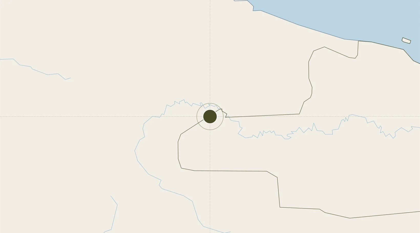
-4.0868°, 141.6466°
200 ha
Zone area
166.1 km
Nearest port
114.7 km
Nearest airport

Gateway access

Nearest neighbours — logibook spatial index (haversine) over the source coordinates

Zone profile

Zone type
Specialized Zone
Open Zone Map
Specialization
Agriculture
Open Zone Map
Region
East Sepik
Open Zone Map
Status
Inactive
Open Zone Map
Management
Public
Open Zone Map
Operator
Sepik Special Economic Zone Authority
Open Zone Map
Legal framework
Special Economic Zones Authority Act 2019
Open Zone Map

Location

Location of ozm-3080
Natural Earth 10m (public domain) · East Sepik · ozm-3080 · -4.09, 141.65GoogleOSMYandex

Nearby Logistics Neighbours

Ports
  1. 1Vanimo166 km
  2. 2Wewak Harbor228 km
  3. 3Madang479 km
  4. 4Merauke508 km
  5. 5Amamapare525 km
Nearest neighbours — logibook spatial index (haversine) over the source coordinates
Airports
  1. 1Okyap Airstrip115 km
  2. 2Diphikin Airstrip118 km
  3. 3Okpahik Airstrip119 km
  4. 4Hangmata Airstrip119 km
  5. 5Tinibil Airstrip119 km
Nearest neighbours — logibook spatial index (haversine) over the source coordinates
Cities
  1. 1Yentchan178 km
  2. 2Jayapura, Irian Jaya200 km
  3. 3Tambanum217 km
  4. 4Wewak229 km
  5. 5Demta257 km
Nearest neighbours — logibook spatial index (haversine) over the source coordinates
Trade Zones
  1. 1Sandaun Special Economic Zone80 km
  2. 2Vanimo Special Economic Zone160 km
  3. 3Manus Special Economic Zone319 km
  4. 4Western Province Special Economic Zone358 km
  5. 5Pacific Marine Industrial Zone475 km
Nearest neighbours — logibook spatial index (haversine) over the source coordinates
DatabookThe Record of Consolidated Knowledge
Papua New Guinea beyond logistics?
Browse databook

All Sources

Trade ZonesOpen Zone Map
CC BY
Portsthe NGA World Port Index
Public domain (US gov)
AirportsOurAirports
Public domain
LocationsUN/LOCODE
UN/LOCODE — free
← Papua New Guinea trade zones