Small airport · Papua New Guinea

Tapini AirportAYTI

-8.3567°, 146.9892°
3,100 ft
Elevation

Runway & Layout

Tapini Airport runway & taxiway layout
Runway & taxiway layout — OpenStreetMap (ODbL) / OurAirports

Airport Specifications
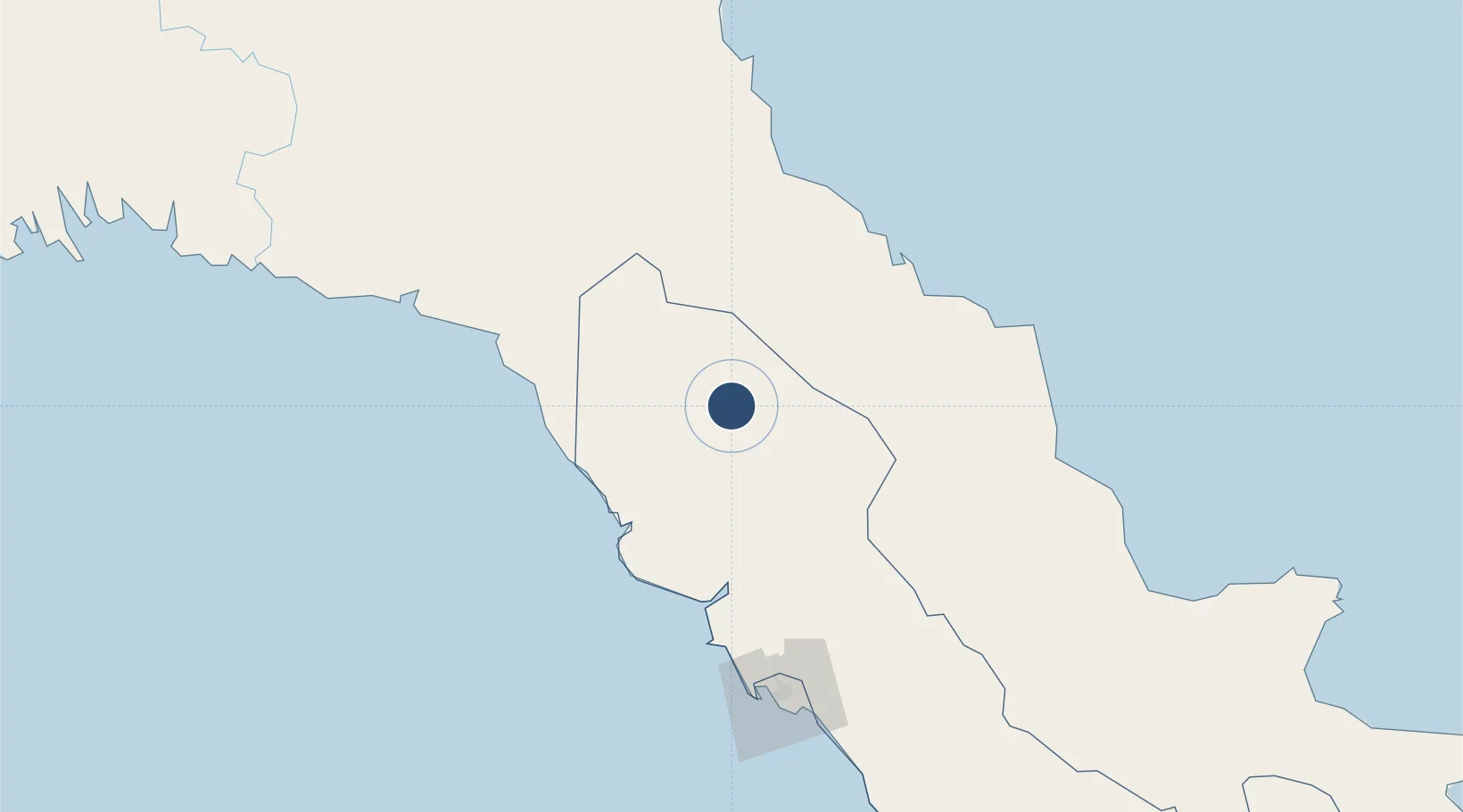
IATA code
TPI
OurAirports
ICAO code
AYTI
OurAirports
Airport class
Small airport
OurAirports
Scheduled service
Yes
OurAirports
Served city
Tapini
OurAirports

Location

Location of AYTI
Natural Earth 10m (public domain) · Central · AYTI · -8.36, 146.99GoogleOSMYandex

Nearby Logistics Neighbours

Airports
  1. 1Port Moresby Jacksons International Airport124 km
  2. 2Kerema Airport141 km
  3. 3Girua Airport153 km
  4. 4Nadzab Tomodachi International Airport201 km
  5. 5Baimuru Airport257 km
Nearest neighbours — logibook spatial index (haversine) over the source coordinates
Cities
  1. 1Kairuku73 km
  2. 2Caution Bay109 km
  3. 3Motukea Island120 km
  4. 4Port Moresby121 km
  5. 5Napa Napa122 km
Nearest neighbours — logibook spatial index (haversine) over the source coordinates
Ports
  1. 1Port Moresby124 km
  2. 2Oro Bay174 km
  3. 3Lae181 km
  4. 4Kumul268 km
  5. 5Madang372 km
Nearest neighbours — logibook spatial index (haversine) over the source coordinates
Trade Zones
  1. 1Paga Hill Estate Special Economic Zone126 km
  2. 2Ihu Special Economic Zone184 km
  3. 3Nadzab (Momase) Special Economic Zone197 km
  4. 4Ledger Atlas Special Economic Zone217 km
  5. 5Morobe Agricultural Special Economic Zone230 km
Nearest neighbours — logibook spatial index (haversine) over the source coordinates
DatabookThe Record of Consolidated Knowledge
Papua New Guinea beyond logistics?
Browse databook

All Sources

AirportsOurAirports
Public domain
Portsthe NGA World Port Index
Public domain (US gov)
LocationsUN/LOCODE
UN/LOCODE — free
Trade Zonesthe World Bank SEZ database
CC BY 4.0
Trade ZonesOpen Zone Map
CC BY
InfrastructureOpenStreetMap
ODbL 1.0
← Papua New Guinea airports