Seaport · Yemen
Al AhmadiYEHOD
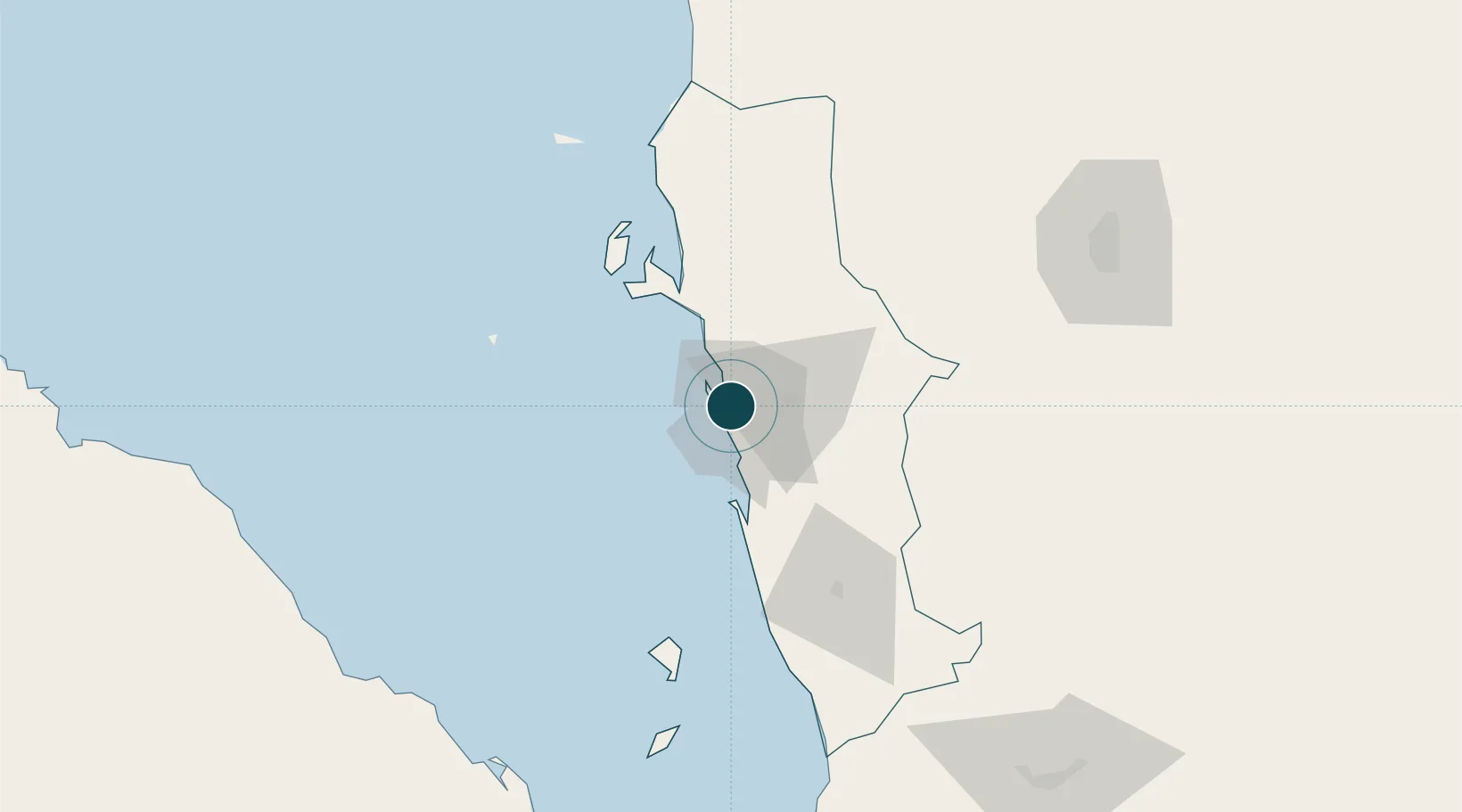
14.8333°, 42.9667°
9.4 m
Channel depth
1
Container terminals
30.2
Port liner connectivity
Channel & Berth Profile
Pilotage, Tugs & Services
Pilotage compulsoryYES
Pilotage availableYES
Pilotage advisableYES
Local assistanceYES
Tug assistanceNO
Salvage tugsNO
Potable waterYES
MedicalNO
Facilities & Capabilities
Container—
Ro-Ro—
Liquid bulk—
Dry bulk—
Oil terminal—
Break bulk—
Dry dock—
RepairsNO
BunkeringYES
Rail link—
Dangerous cargo—
ISPS security—
Harbour Specifications
Harbour size
Small
Harbour type
Coastal (Breakwater)
Shelter
Poor
Water body
Red Sea; Indian Ocean
Tidal range
1 m
Overhead limit
No
Pilotage
Yes
Liner Connectivity
30.2
PLSCI
Port Liner Shipping Connectivity Index for Al Ahmadi, as published by UNCTAD for the latest available quarter. Higher values indicate stronger scheduled liner-shipping integration.
Shown relative to the highest per-port PLSCI in the dataset (1,657.9).
Location
Container Terminals · 1
PORT OF HODEIDAH
HOD YEMEN RED SEA PORTS CORPORATION (YRSPC)
Nearby Logistics Neighbours
Ports
- 1Ras Isa Marine Terminal52 km
- 2Salif61 km
- 3Al Mukha171 km
- 4Assab205 km
- 5Jizan236 km
Cities
- 1Ras Isa Terminal52 km
- 2Assab205 km
- 3Jizan235 km
- 4Perim Island248 km
- 5Jazan Economic City281 km
Airports
Trade Zones
- 1Assab Free Trade Zone206 km
- 2Jazan Industrial City226 km
- 3Jazan Economic City283 km
- 4Aden Free Zone312 km
- 5Najran Industrial City339 km
DatabookThe Record of Consolidated Knowledge
Yemen beyond logistics?