UN/LOCODE hub · Yemen
YERAI

Ras Isa Terminal

15.2000°, 42.6667°
1
Transport functions

Transport Functions

Port
Ras Isa Terminal is also a profiled seaport →
UN/LOCODE

Location

Location of YERAI
Natural Earth 10m (public domain) · Al Hudaydah · YERAI · 15.20, 42.67GoogleOSMYandex

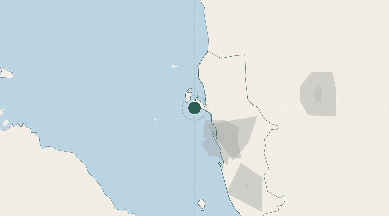
Nearby Logistics Neighbours

Cities
  1. 1Hodeidah50 km
  2. 2Jizan190 km
  3. 3Jazan Economic City235 km
  4. 4Assab245 km
  5. 5Perim Island295 km
Nearest neighbours — logibook spatial index (haversine) over the source coordinates
Ports
  1. 1Salif11 km
  2. 2Al Ahmadi52 km
  3. 3Jizan190 km
  4. 4Al Mukha219 km
  5. 5Assab245 km
Nearest neighbours — logibook spatial index (haversine) over the source coordinates
Airports
  1. 1Hodeida International Airport60 km
  2. 2Sanaa International Airport169 km
  3. 3Jizan Regional Airport / King Abdullah bin Abdulaziz Airport189 km
  4. 4Mokha International Airport220 km
  5. 5Taiz International Airport231 km
Nearest neighbours — logibook spatial index (haversine) over the source coordinates
Trade Zones
  1. 1Jazan Industrial City182 km
  2. 2Jazan Economic City237 km
  3. 3Assab Free Trade Zone245 km
  4. 4Najran Industrial City320 km
  5. 5Massawa Free Trade Zone349 km
Nearest neighbours — logibook spatial index (haversine) over the source coordinates
DatabookThe Record of Consolidated Knowledge
Yemen beyond logistics?
Browse databook

All Sources

LocationsUN/LOCODE
UN/LOCODE — free
Portsthe NGA World Port Index
Public domain (US gov)
AirportsOurAirports
Public domain
Trade Zonesthe World Bank SEZ database
CC BY 4.0
Trade ZonesOpen Zone Map
CC BY
← Yemen locations