Channel & Berth Profile
Pilotage, Tugs & Services
Pilotage compulsoryYES
Pilotage availableYES
Pilotage advisableYES
Local assistanceYES
Tug assistanceYES
Shore powerNO
Potable waterNO
Diesel bunkersYES
MedicalYES
Garbage disposalNO
Facilities & Capabilities
Container—
Ro-Ro—
Liquid bulk—
Dry bulk—
Oil terminal—
Break bulk—
Dry dock—
Repairs—
Bunkering—
Rail link—
Dangerous cargo—
ISPS security—
Harbour Specifications
Harbour size
Large
Water body
Red Sea; Indian Ocean
Tidal range
3 m
Overhead limit
Yes
Pilotage
Yes
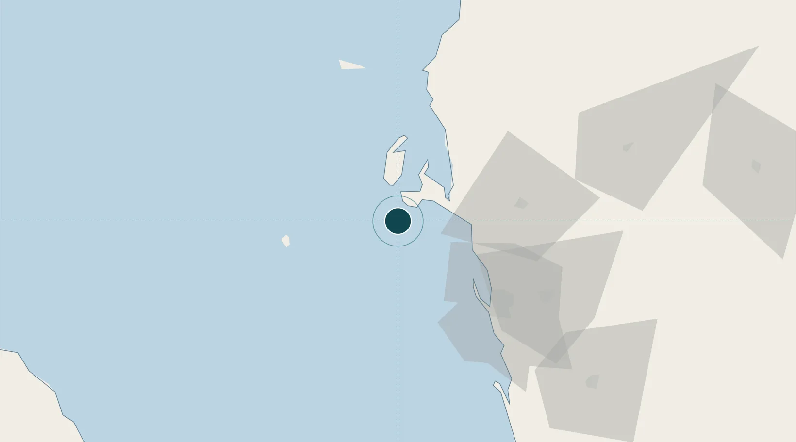
Location
Nearby Logistics Neighbours
Cities
- 1Hodeidah49 km
- 2Jizan197 km
- 3Assab238 km
- 4Jazan Economic City241 km
- 5Perim Island290 km
Airports
Trade Zones
- 1Jazan Industrial City190 km
- 2Assab Free Trade Zone238 km
- 3Jazan Economic City244 km
- 4Najran Industrial City330 km
- 5Massawa Free Trade Zone343 km
DatabookThe Record of Consolidated Knowledge
Yemen beyond logistics?