Free Trade Zone · Saudi Arabia

Jazan Economic City Active
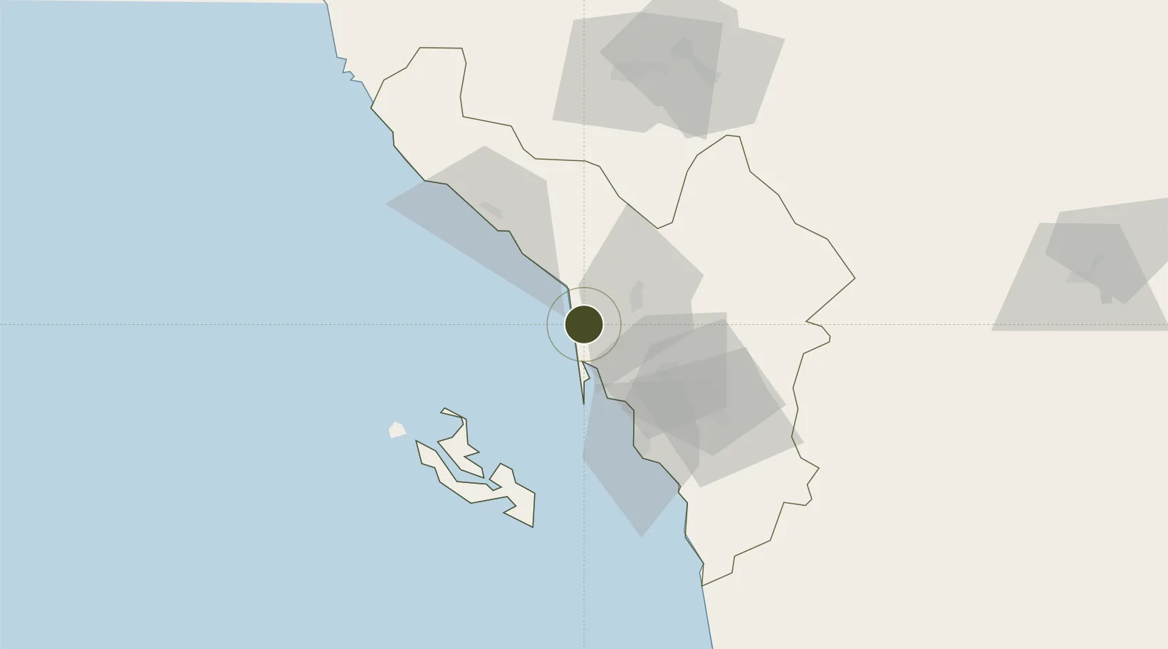
17.3151°, 42.3635°
10,000 ha
Zone area
47.9 km
Nearest port
51.7 km
Nearest airport

Gateway access

Nearest neighbours — logibook spatial index (haversine) over the source coordinates

Zone profile

Zone type
Free Trade Zone
Open Zone Map
Region
Jizan
Open Zone Map
Status
Active
Open Zone Map
Management
Public
Open Zone Map
Operator
Economic Cities and Special Zones Authority
Open Zone Map
Legal framework
Foreign Investment Act, April 2000.
Open Zone Map

Location

Location of ozm-4094
Natural Earth 10m (public domain) · Jizan · ozm-4094 · 17.32, 42.36GoogleOSMYandex

Nearby Logistics Neighbours

Ports
  1. 1Jizan48 km
  2. 2Salif226 km
  3. 3Ras Isa Marine Terminal244 km
  4. 4Al Ahmadi283 km
  5. 5Mitsiwa Harbor362 km
Nearest neighbours — logibook spatial index (haversine) over the source coordinates
Airports
  1. 1Jizan Regional Airport / King Abdullah bin Abdulaziz Airport52 km
  2. 2Abha International Airport108 km
  3. 3King Khalid Air Base119 km
  4. 4Najran Domestic Airport221 km
  5. 5Sanaa International Airport285 km
Nearest neighbours — logibook spatial index (haversine) over the source coordinates
Cities
  1. 1Jazan Economic City5 km
  2. 2Jizan48 km
  3. 3Al Qahmah107 km
  4. 4Muhayil140 km
  5. 5Ras Isa Terminal237 km
Nearest neighbours — logibook spatial index (haversine) over the source coordinates
Trade Zones
  1. 1Jazan Industrial City60 km
  2. 2Assir Industrial City118 km
  3. 3Najran Industrial City212 km
  4. 4Al-Baha Industrial City (First)345 km
  5. 5Al-Baha Industrial City (Second)352 km
Nearest neighbours — logibook spatial index (haversine) over the source coordinates
DatabookThe Record of Consolidated Knowledge
Saudi Arabia beyond logistics?
Browse databook

All Sources

Trade ZonesOpen Zone Map
CC BY
Portsthe NGA World Port Index
Public domain (US gov)
AirportsOurAirports
Public domain
LocationsUN/LOCODE
UN/LOCODE — free
← Saudi Arabia trade zones