Free Trade Zone · Yemen

Aden Free Zone Inactive
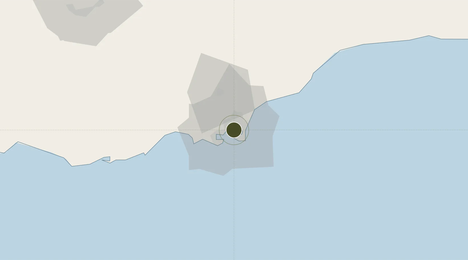
12.8311°, 44.9858°
31 ha
Zone area
6.6 km
Nearest port
4.8 km
Nearest airport

Gateway access

Nearest neighbours — logibook spatial index (haversine) over the source coordinates

Zone profile

Zone type
Free Trade Zone
Open Zone Map
Region
`Adan
Open Zone Map
Status
Inactive
Open Zone Map
Management
Public
Open Zone Map
Operator
Aden Free Zone Authority
Open Zone Map
Legal framework
Law No. 4 of 1993 Concerning the Free Zones
Open Zone Map

Location

Location of ozm-5202
Natural Earth 10m (public domain) · `Adan · ozm-5202 · 12.83, 44.99GoogleOSMYandex

Nearby Logistics Neighbours

Ports
  1. 1Aden7 km
  2. 2Al Mukha196 km
  3. 3Assab243 km
  4. 4Djibouti243 km
  5. 5Doraleh247 km
Nearest neighbours — logibook spatial index (haversine) over the source coordinates
Airports
  1. 1Aden International Airport5 km
  2. 2Al Anad Air Base45 km
  3. 3Taiz International Airport132 km
  4. 4Mokha International Airport197 km
  5. 5Djibouti-Ambouli Airport245 km
Nearest neighbours — logibook spatial index (haversine) over the source coordinates
Cities
  1. 1Aden4 km
  2. 2'Adan9 km
  3. 3Little Aden17 km
  4. 4Doraleh Container Terminal143 km
  5. 5Perim Island171 km
Nearest neighbours — logibook spatial index (haversine) over the source coordinates
Trade Zones
  1. 1Damerjog Industrial Development Free Zone243 km
  2. 2Djibouti Free Zone245 km
  3. 3Assab Free Trade Zone245 km
  4. 4Touchroad Djibouti Special Economic Zone246 km
  5. 5UKAB Holdings Free Zone250 km
Nearest neighbours — logibook spatial index (haversine) over the source coordinates
DatabookThe Record of Consolidated Knowledge
Yemen beyond logistics?
Browse databook

All Sources

Trade ZonesOpen Zone Map
CC BY
Portsthe NGA World Port Index
Public domain (US gov)
AirportsOurAirports
Public domain
LocationsUN/LOCODE
UN/LOCODE — free
← Yemen trade zones