Medium airport · Eritrea

Assab International AirportHHSB
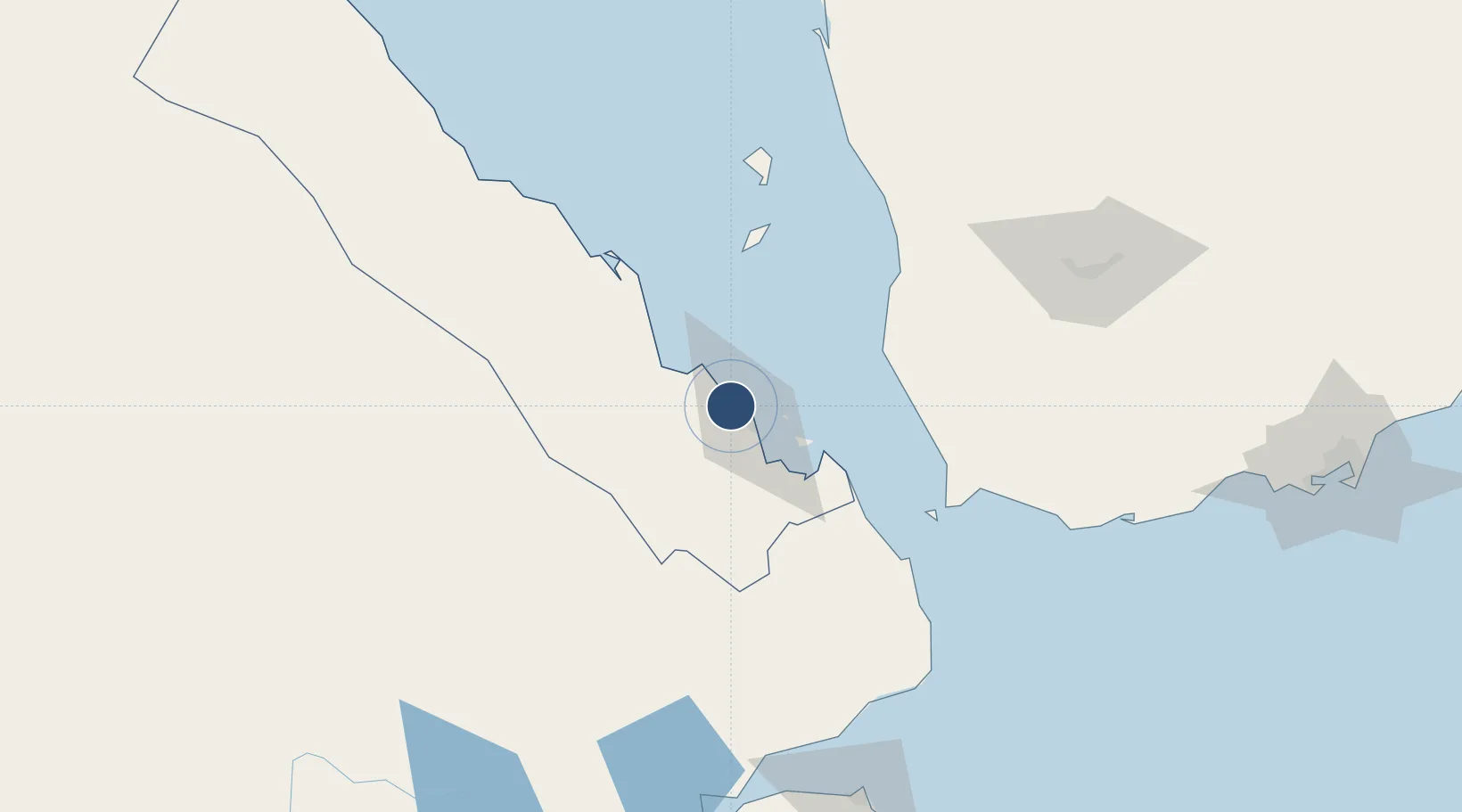
13.0718°, 42.6450°
11,531 ft
Longest runway
1
Runways
46 ft
Elevation

Runway & Layout

Assab International Airport runway & taxiway layout
Runway & taxiway layout — OpenStreetMap (ODbL) / OurAirports

Radio Frequencies

TWR
118.6 MHz
OurAirports

Navaids

SB NDB Assab 345 kHz
OurAirports

Runways · 1

RunwayDimensions SurfaceTrue headingLit
12/30 11,531 × 148ft Asphalt / concrete 120°
OurAirports

Airport Specifications

IATA code
ASA
OurAirports
ICAO code
HHSB
OurAirports
Airport class
Medium airport
OurAirports
Scheduled service
No
OurAirports
Runway surface
Asphalt / concrete
OurAirports
Served city
Assab
OurAirports

Location

Location of HHSB
Natural Earth 10m (public domain) · Debubawi Keyih Bahri · HHSB · 13.07, 42.65GoogleOSMYandex

Nearby Logistics Neighbours

Airports
  1. 1Mokha International Airport68 km
  2. 2Taiz International Airport176 km
  3. 3Djibouti-Ambouli Airport179 km
  4. 4Hodeida International Airport190 km
  5. 5Semera Airport229 km
Nearest neighbours — logibook spatial index (haversine) over the source coordinates
Cities
  1. 1Assab13 km
  2. 2Perim Island96 km
  3. 3Djibouti171 km
  4. 4Djibouti174 km
  5. 5Camp Lemonier179 km
Nearest neighbours — logibook spatial index (haversine) over the source coordinates
Ports
  1. 1Assab14 km
  2. 2Al Mukha71 km
  3. 3Doraleh170 km
  4. 4Djibouti172 km
  5. 5Al Ahmadi199 km
Nearest neighbours — logibook spatial index (haversine) over the source coordinates
Trade Zones
  1. 1Assab Free Trade Zone13 km
  2. 2UKAB Holdings Free Zone171 km
  3. 3Djibouti Free Zone174 km
  4. 4Touchroad Djibouti Special Economic Zone174 km
  5. 5Damerjog Industrial Development Free Zone188 km
Nearest neighbours — logibook spatial index (haversine) over the source coordinates
DatabookThe Record of Consolidated Knowledge
Eritrea beyond logistics?
Browse databook

All Sources

AirportsOurAirports
Public domain
Portsthe NGA World Port Index
Public domain (US gov)
LocationsUN/LOCODE
UN/LOCODE — free
Trade Zonesthe World Bank SEZ database
CC BY 4.0
Trade ZonesOpen Zone Map
CC BY
InfrastructureOpenStreetMap
ODbL 1.0
← Eritrea airports