Transport Functions
Port
Airport
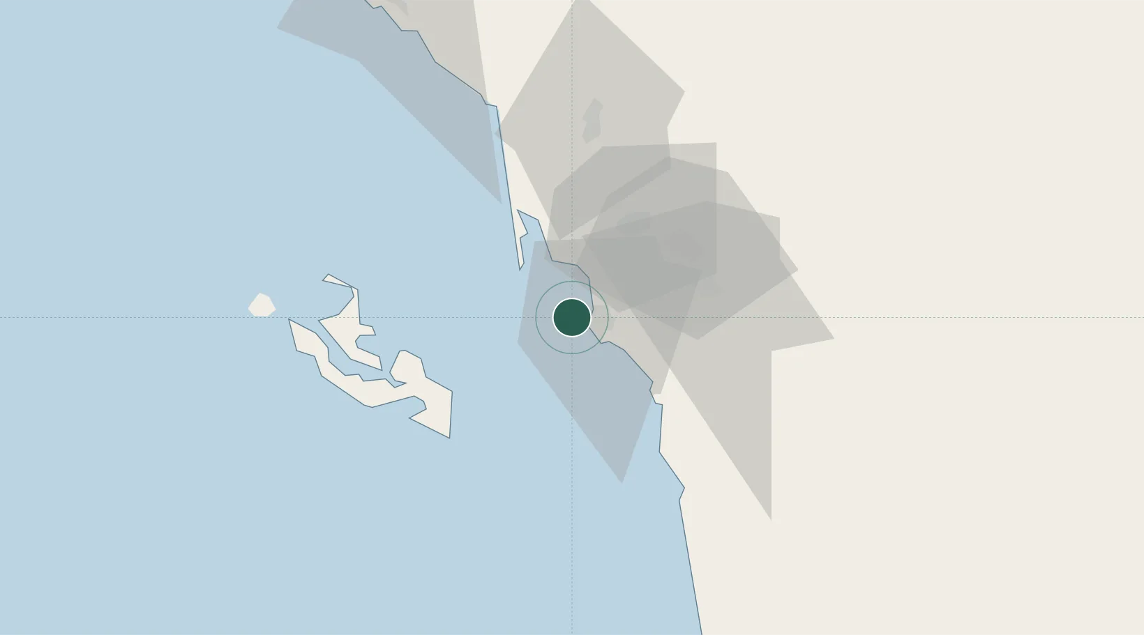
Hub Profile
Place type
Regional capital
Region
Jazan Region
Population
105,198
Time zone
Asia/Riyadh
Elevation
19 m
Location
Nearby Logistics Neighbours
Cities
- 1Jazan Economic City47 km
- 2Al Qahmah152 km
- 3Muhayil188 km
- 4Ras Isa Terminal190 km
- 5Hodeidah234 km
Ports
- 1Salif179 km
- 2Ras Isa Marine Terminal197 km
- 3Al Ahmadi235 km
- 4Mitsiwa Harbor354 km
- 5Al Mukha407 km
Airports
Trade Zones
- 1Jazan Industrial City15 km
- 2Jazan Economic City48 km
- 3Assir Industrial City161 km
- 4Najran Industrial City210 km
- 5Massawa Free Trade Zone356 km
DatabookThe Record of Consolidated Knowledge
Saudi Arabia beyond logistics?