Free Trade Zone · Eritrea

Assab Free Trade Zone Under Development
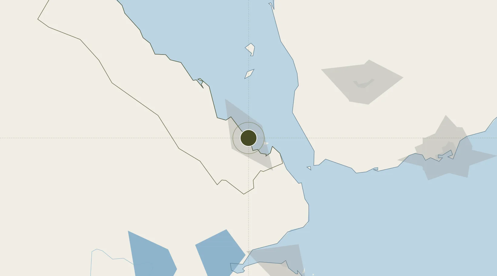
12.9940°, 42.7323°
13 ha
Zone area
2.0 km
Nearest port
12.8 km
Nearest airport

Gateway access

Nearest neighbours — logibook spatial index (haversine) over the source coordinates

Zone profile

Zone type
Free Trade Zone
the World Bank SEZ database
Region
Debubawi Keyih Bahri
the World Bank SEZ database
Status
Under Development
the World Bank SEZ database
Established
2010
the World Bank SEZ database
Management
Public agency
the World Bank SEZ database
Operator
Eritrea Free Zone Authority
the World Bank SEZ database
Regulatory authority
Eritrean Free Zone Authority (EFZA)
the World Bank SEZ database
Legal framework
Proclamation 115
the World Bank SEZ database

Location

Location of ERI2
Natural Earth 10m (public domain) · Debubawi Keyih Bahri · ERI2 · 12.99, 42.73GoogleOSMYandex

Fiscal & incentives

Corporate tax
30%
the World Bank SEZ database
Tax relief
100% exempt
the World Bank SEZ database
Relief duration
Perpetual
the World Bank SEZ database
VAT
No exemption
the World Bank SEZ database
Import duty (inputs)
100% exempt
the World Bank SEZ database
Import duty (capex)
100% exempt
the World Bank SEZ database
Profit repatriation
100% exempt from repatriation tax on profits and capital
the World Bank SEZ database
Capital gains
No exemption
the World Bank SEZ database
Withholding tax
No exemption
the World Bank SEZ database
Min. investment
None
the World Bank SEZ database
Min. export
0%
the World Bank SEZ database
Employment incentive
No exemption
the World Bank SEZ database
Developer incentive
No established framework
the World Bank SEZ database

Nearby Logistics Neighbours

Ports
  1. 1Assab2 km
  2. 2Al Mukha67 km
  3. 3Doraleh160 km
  4. 4Djibouti161 km
  5. 5Al Ahmadi206 km
Nearest neighbours — logibook spatial index (haversine) over the source coordinates
Airports
  1. 1Assab International Airport13 km
  2. 2Mokha International Airport64 km
  3. 3Djibouti-Ambouli Airport167 km
  4. 4Taiz International Airport171 km
  5. 5Hodeida International Airport197 km
Nearest neighbours — logibook spatial index (haversine) over the source coordinates
Cities
  1. 1Assab1 km
  2. 2Perim Island84 km
  3. 3Djibouti160 km
  4. 4Djibouti163 km
  5. 5Camp Lemonier168 km
Nearest neighbours — logibook spatial index (haversine) over the source coordinates
Trade Zones
  1. 1UKAB Holdings Free Zone160 km
  2. 2Djibouti Free Zone163 km
  3. 3Touchroad Djibouti Special Economic Zone163 km
  4. 4Damerjog Industrial Development Free Zone177 km
  5. 5Aden Free Zone245 km
Nearest neighbours — logibook spatial index (haversine) over the source coordinates
DatabookThe Record of Consolidated Knowledge
Eritrea beyond logistics?
Browse databook

All Sources

Trade Zonesthe World Bank SEZ database
CC BY 4.0
Portsthe NGA World Port Index
Public domain (US gov)
AirportsOurAirports
Public domain
LocationsUN/LOCODE
UN/LOCODE — free
← Eritrea trade zones