Runway & Layout

Radio Frequencies
TWR
118.2 MHz
GND
121.6 MHz
A/G
511.5 MHz
RDO
Navaids
HD NDB Hodeidah 368 kHz
HDH VOR-DME Hodeidah 114.20 MHz
Airport Specifications
Airport class
Medium airport
Scheduled service
No
Served city
Hodeida
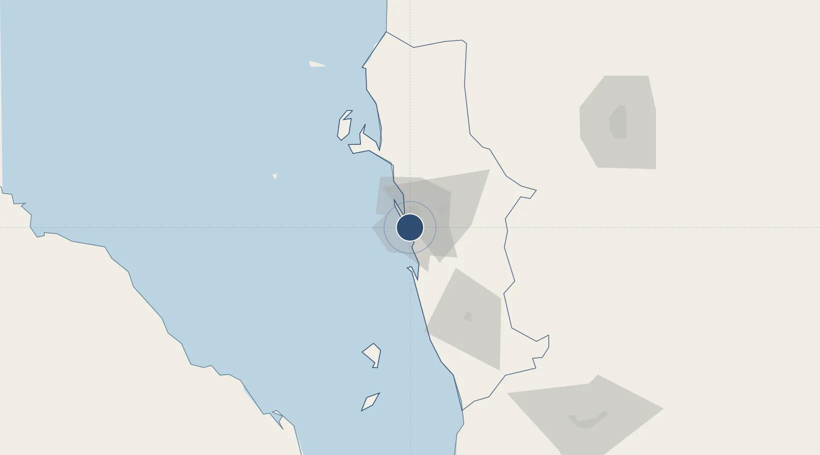
Location
Nearby Logistics Neighbours
Airports
Cities
- 1Hodeidah10 km
- 2Ras Isa Terminal60 km
- 3Assab197 km
- 4Perim Island239 km
- 5Jizan244 km
Ports
- 1Al Ahmadi9 km
- 2Ras Isa Marine Terminal59 km
- 3Salif69 km
- 4Al Mukha162 km
- 5Assab196 km
Trade Zones
- 1Assab Free Trade Zone197 km
- 2Jazan Industrial City235 km
- 3Jazan Economic City292 km
- 4Aden Free Zone305 km
- 5Najran Industrial City347 km
DatabookThe Record of Consolidated Knowledge
Yemen beyond logistics?