Free Trade Zone · Saudi Arabia

Najran Industrial City Active
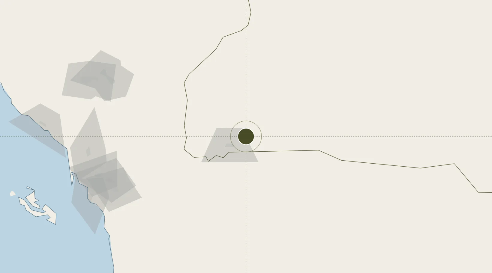
17.5844°, 44.3425°
650 ha
Zone area
211.6 km
Nearest port
8.7 km
Nearest airport

Gateway access

Nearest neighbours — logibook spatial index (haversine) over the source coordinates

Zone profile

Zone type
Free Trade Zone
Open Zone Map
Region
Najran
Open Zone Map
Status
Active
Open Zone Map
Management
Public
Open Zone Map
Operator
Saudi Authority for Industrial Estates and Technology Zones
Open Zone Map
Legal framework
Ministerial Legislation No. 235 dated 27/8/1422H
Open Zone Map

Location

Location of ozm-4074
Natural Earth 10m (public domain) · Najran · ozm-4074 · 17.58, 44.34GoogleOSMYandex

Nearby Logistics Neighbours

Ports
  1. 1Jizan212 km
  2. 2Salif311 km
  3. 3Ras Isa Marine Terminal330 km
  4. 4Al Ahmadi339 km
  5. 5Al Mukha489 km
Nearest neighbours — logibook spatial index (haversine) over the source coordinates
Airports
  1. 1Najran Domestic Airport9 km
  2. 2King Khalid Air Base181 km
  3. 3Abha International Airport193 km
  4. 4Jizan Regional Airport / King Abdullah bin Abdulaziz Airport201 km
  5. 5Sanaa International Airport235 km
Nearest neighbours — logibook spatial index (haversine) over the source coordinates
Cities
  1. 1Jizan210 km
  2. 2Jazan Economic City216 km
  3. 3Muhayil266 km
  4. 4Al Qahmah287 km
  5. 5Ras Isa Terminal320 km
Nearest neighbours — logibook spatial index (haversine) over the source coordinates
Trade Zones
  1. 1Assir Industrial City196 km
  2. 2Jazan Industrial City201 km
  3. 3Jazan Economic City212 km
  4. 4Al-Baha Industrial City (First)418 km
  5. 5Al-Baha Industrial City (Second)426 km
Nearest neighbours — logibook spatial index (haversine) over the source coordinates
DatabookThe Record of Consolidated Knowledge
Saudi Arabia beyond logistics?
Browse databook

All Sources

Trade ZonesOpen Zone Map
CC BY
Portsthe NGA World Port Index
Public domain (US gov)
AirportsOurAirports
Public domain
LocationsUN/LOCODE
UN/LOCODE — free
← Saudi Arabia trade zones