Large airport · Yemen

Sanaa International AirportOYSN
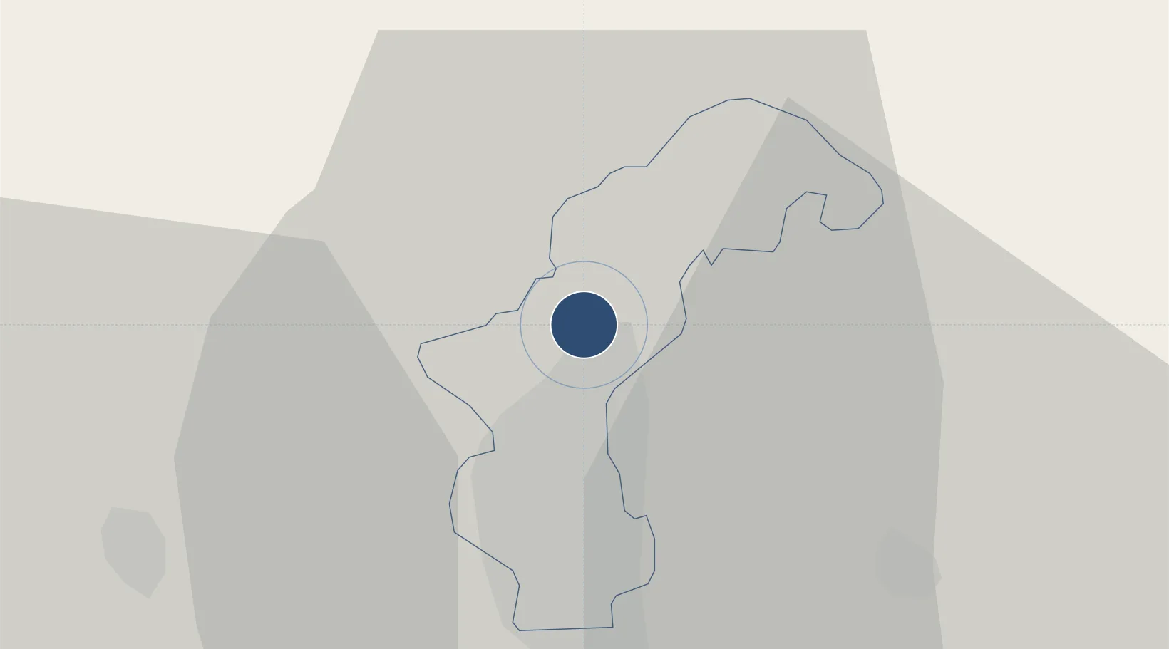
15.4763°, 44.2197°
10,669 ft
Longest runway
1
Runways
7,216 ft
Elevation

Runway & Layout

Sanaa International Airport runway & taxiway layout
Runway & taxiway layout — OpenStreetMap (ODbL) / OurAirports

Radio Frequencies

TWR
118.9 MHz
GND
121.6 MHz
OurAirports

Navaids

SAA VOR-DME Sanaa 116.10 MHz
SAH NDB Sanaa 395 kHz
OurAirports

Runways · 1

RunwayDimensions SurfaceTrue headingLit
18/36 10,669 × 148ft Asphalt 180°
OurAirports

Airport Specifications

IATA code
SAH
OurAirports
ICAO code
OYSN
OurAirports
Airport class
Large airport
OurAirports
Scheduled service
Yes
OurAirports
Runway surface
Asphalt
OurAirports
Served city
Sanaa
OurAirports

Location

Location of OYSN
Natural Earth 10m (public domain) · Amanat Al Asimah · OYSN · 15.48, 44.22GoogleOSMYandex

Nearby Logistics Neighbours

Airports
  1. 1Hodeida International Airport156 km
  2. 2Taiz International Airport199 km
  3. 3Jizan Regional Airport / King Abdullah bin Abdulaziz Airport236 km
  4. 4Najran Domestic Airport238 km
  5. 5Al Anad Air Base263 km
Nearest neighbours — logibook spatial index (haversine) over the source coordinates
Cities
  1. 1Hodeidah155 km
  2. 2Ras Isa Terminal169 km
  3. 3Jizan243 km
  4. 4Jazan Economic City285 km
  5. 5Aden310 km
Nearest neighbours — logibook spatial index (haversine) over the source coordinates
Ports
  1. 1Al Ahmadi152 km
  2. 2Salif168 km
  3. 3Ras Isa Marine Terminal178 km
  4. 4Jizan244 km
  5. 5Al Mukha262 km
Nearest neighbours — logibook spatial index (haversine) over the source coordinates
Trade Zones
  1. 1Jazan Industrial City228 km
  2. 2Najran Industrial City235 km
  3. 3Jazan Economic City285 km
  4. 4Aden Free Zone306 km
  5. 5Assab Free Trade Zone319 km
Nearest neighbours — logibook spatial index (haversine) over the source coordinates
DatabookThe Record of Consolidated Knowledge
Yemen beyond logistics?
Browse databook

All Sources

AirportsOurAirports
Public domain
Portsthe NGA World Port Index
Public domain (US gov)
LocationsUN/LOCODE
UN/LOCODE — free
Trade Zonesthe World Bank SEZ database
CC BY 4.0
Trade ZonesOpen Zone Map
CC BY
InfrastructureOpenStreetMap
ODbL 1.0
← Yemen airports