Channel & Berth Profile
Pilotage, Tugs & Services
Pilotage compulsoryYES
Pilotage availableYES
Tug assistanceYES
Shore powerYES
Potable waterYES
Diesel bunkersYES
MedicalYES
Facilities & Capabilities
Container—
Ro-Ro—
Liquid bulk—
Dry bulk—
Oil terminal—
Break bulk—
Dry dock—
RepairsNO
BunkeringYES
Rail link—
Dangerous cargo—
ISPS security—
Harbour Specifications
Harbour size
Small
Harbour type
Coastal (Natural)
Shelter
Fair
Water body
Red Sea; Indian Ocean
Tidal range
0.5 m
Overhead limit
Yes
Pilotage
Yes
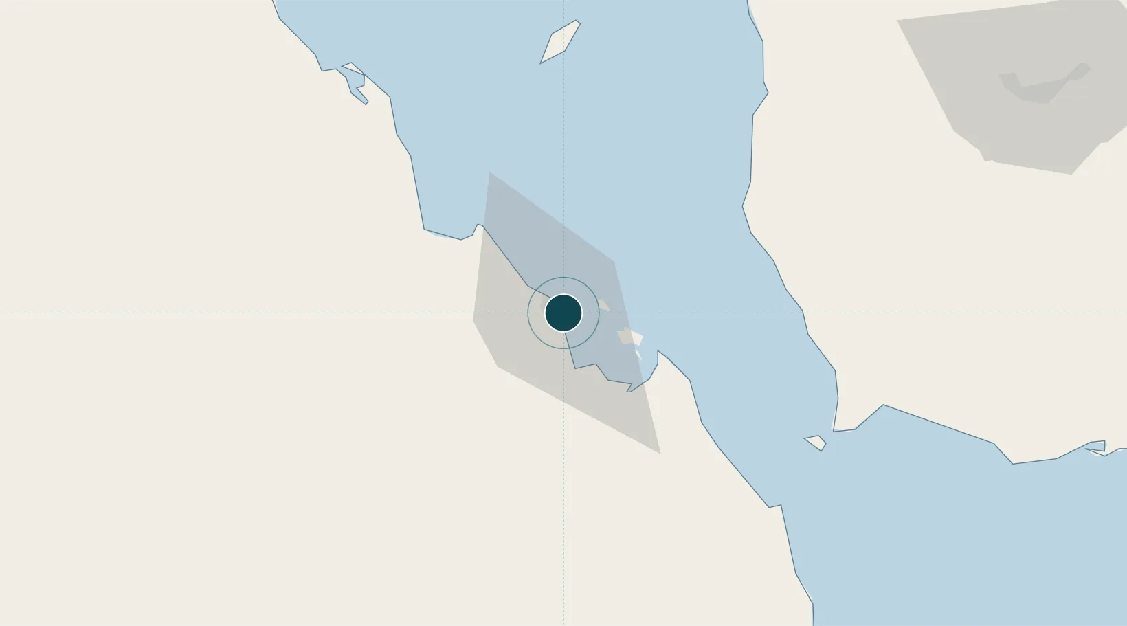
Location
Nearby Logistics Neighbours
Ports
- 1Al Mukha65 km
- 2Doraleh160 km
- 3Djibouti161 km
- 4Al Ahmadi205 km
- 5Ras Isa Marine Terminal238 km
Cities
- 1Perim Island82 km
- 2Djibouti161 km
- 3Djibouti163 km
- 4Camp Lemonier168 km
- 5Damerjog175 km
Airports
Trade Zones
DatabookThe Record of Consolidated Knowledge
Eritrea beyond logistics?