Transport Functions
Port
Road
Airport
Hub Profile
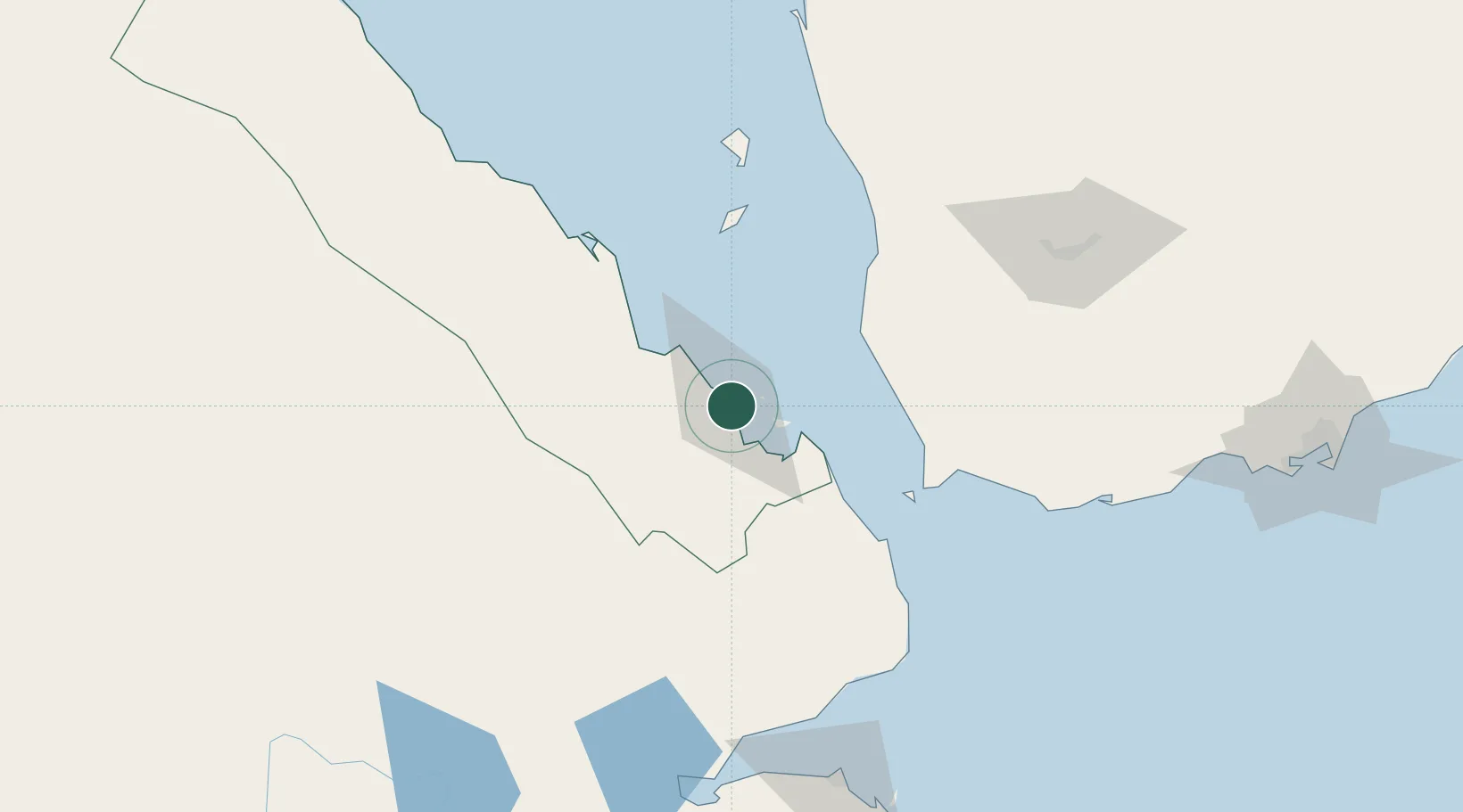
Place type
Regional capital
Region
Southern Red Sea
Population
21,300
Time zone
Africa/Asmara
Elevation
22 m
Location
Nearby Logistics Neighbours
Cities
- 1Perim Island84 km
- 2Djibouti161 km
- 3Djibouti163 km
- 4Camp Lemonier169 km
- 5Damerjog176 km
Ports
- 1Al Mukha66 km
- 2Doraleh160 km
- 3Djibouti162 km
- 4Al Ahmadi205 km
- 5Ras Isa Marine Terminal238 km
Airports
Trade Zones
DatabookThe Record of Consolidated Knowledge
Eritrea beyond logistics?