UN/LOCODE hub · Yemen
YEHOD

Hodeidah

14.8357°, 42.9380°
3
Transport functions
1
Container terminals

Transport Functions

Port
Airport
Postal
Hodeidah is also a profiled seaport →
UN/LOCODE

Hub Profile

Logistics facilities
2
UN/LOCODE
Container terminals
1
UN/LOCODE

Location

Location of YEHOD
Natural Earth 10m (public domain) · Al Hudaydah · YEHOD · 14.84, 42.94GoogleOSMYandex

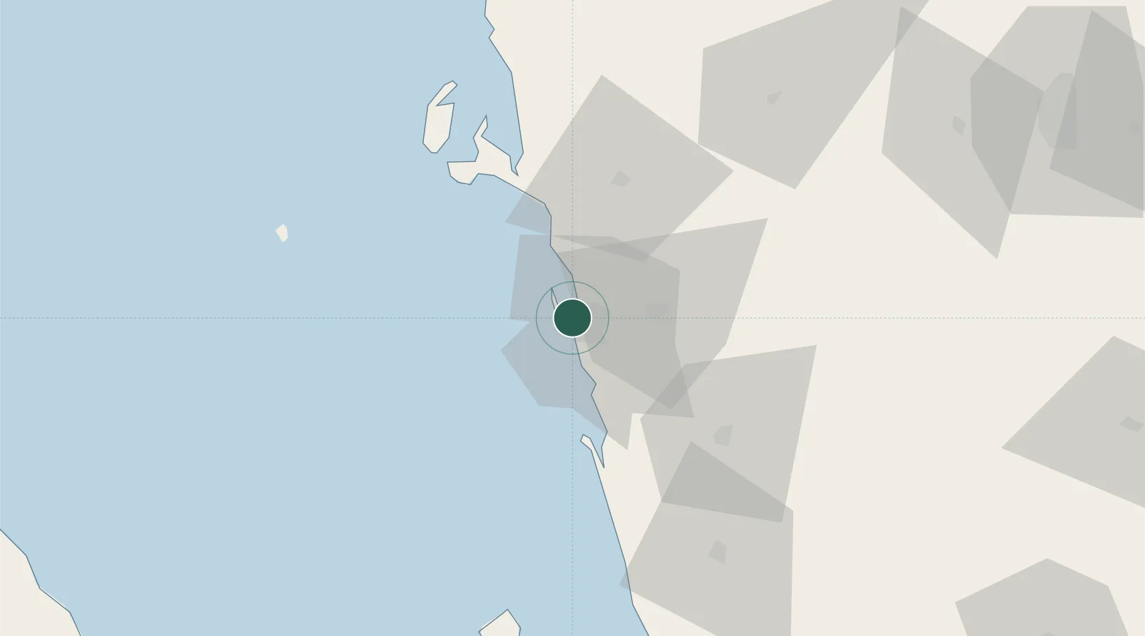
Nearby Logistics Neighbours

Cities
  1. 1Ras Isa Terminal50 km
  2. 2Assab205 km
  3. 3Jizan234 km
  4. 4Perim Island249 km
  5. 5Jazan Economic City280 km
Nearest neighbours — logibook spatial index (haversine) over the source coordinates
Ports
  1. 1Ras Isa Marine Terminal49 km
  2. 2Salif59 km
  3. 3Al Mukha172 km
  4. 4Assab205 km
  5. 5Jizan235 km
Nearest neighbours — logibook spatial index (haversine) over the source coordinates
Airports
  1. 1Hodeida International Airport10 km
  2. 2Sanaa International Airport155 km
  3. 3Mokha International Airport174 km
  4. 4Taiz International Airport182 km
  5. 5Assab International Airport199 km
Nearest neighbours — logibook spatial index (haversine) over the source coordinates
Trade Zones
  1. 1Assab Free Trade Zone206 km
  2. 2Jazan Industrial City225 km
  3. 3Jazan Economic City283 km
  4. 4Aden Free Zone314 km
  5. 5Najran Industrial City340 km
Nearest neighbours — logibook spatial index (haversine) over the source coordinates
DatabookThe Record of Consolidated Knowledge
Yemen beyond logistics?
Browse databook

All Sources

LocationsUN/LOCODE
UN/LOCODE — free
Portsthe NGA World Port Index
Public domain (US gov)
AirportsOurAirports
Public domain
Trade Zonesthe World Bank SEZ database
CC BY 4.0
Trade ZonesOpen Zone Map
CC BY
← Yemen locations