Seaport · Saudi Arabia

JizanSAGIZ

16.9000°, 42.4833°
13.5 m
Channel depth
19.6
Port liner connectivity
Jizan is also a UN/LOCODE logistics hub →

Channel & Berth Profile

SEA LEVEL (CD)CHANNEL BEDCargo pier · 12.0 mChannel · 13.5 mAnchorage · 18.6 mOil terminal · 23.8 m
NGA World Port Index

Pilotage, Tugs & Services

Pilotage compulsoryYES
Pilotage availableYES
Tug assistanceYES
Potable waterYES
Diesel bunkersYES
MedicalYES
Garbage disposalYES
NGA World Port Index

Facilities & Capabilities

Container
Ro-Ro
Liquid bulk
Dry bulk
Oil terminal
Break bulk
Dry dock
RepairsNO
BunkeringYES
Rail link
Dangerous cargo
ISPS security
NGA World Port Index

Harbour Specifications

Harbour size
Small
NGA World Port Index
Harbour type
Coastal (Breakwater)
NGA World Port Index
Shelter
Good
NGA World Port Index
Water body
Red Sea; Indian Ocean
NGA World Port Index
Tidal range
1.7 m
NGA World Port Index
Pilotage
Yes
NGA World Port Index

Liner Connectivity

19.6
PLSCI

Port Liner Shipping Connectivity Index for Jizan, as published by UNCTAD for the latest available quarter. Higher values indicate stronger scheduled liner-shipping integration.

Shown relative to the highest per-port PLSCI in the dataset (1,657.9).
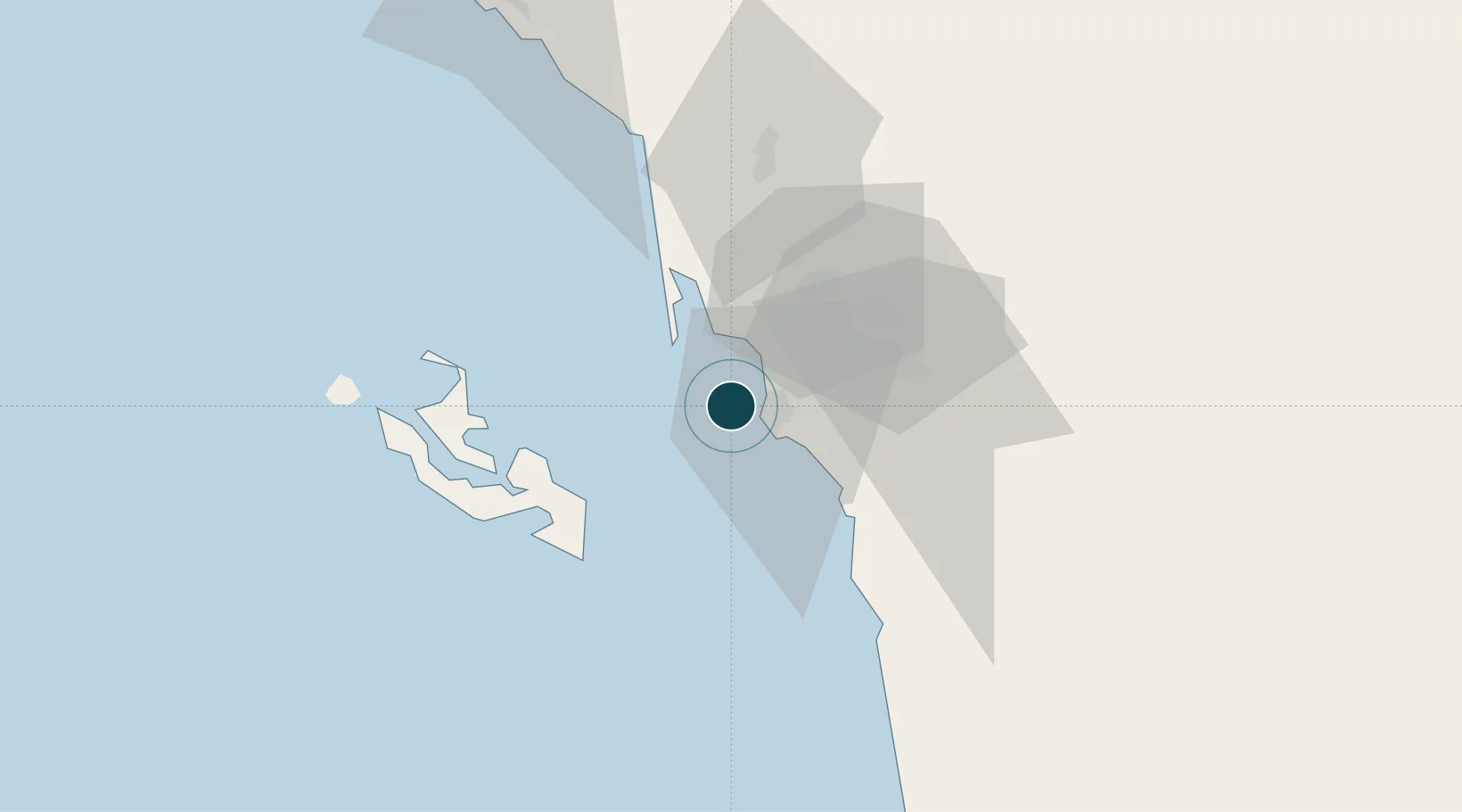
UNCTAD · Port Liner Shipping Connectivity Index

Location

Location of SAGIZ
Natural Earth 10m (public domain) · Jizan · SAGIZ · 16.90, 42.48GoogleOSMYandex

Nearby Logistics Neighbours

Ports
  1. 1Salif179 km
  2. 2Ras Isa Marine Terminal197 km
  3. 3Al Ahmadi236 km
  4. 4Mitsiwa Harbor352 km
  5. 5Al Mukha407 km
Nearest neighbours — logibook spatial index (haversine) over the source coordinates
Cities
  1. 1Jazan Economic City46 km
  2. 2Al Qahmah151 km
  3. 3Muhayil188 km
  4. 4Ras Isa Terminal190 km
  5. 5Hodeidah235 km
Nearest neighbours — logibook spatial index (haversine) over the source coordinates
Airports
  1. 1Jizan Regional Airport / King Abdullah bin Abdulaziz Airport11 km
  2. 2Abha International Airport150 km
  3. 3King Khalid Air Base159 km
  4. 4Najran Domestic Airport220 km
  5. 5Sanaa International Airport244 km
Nearest neighbours — logibook spatial index (haversine) over the source coordinates
Trade Zones
  1. 1Jazan Industrial City16 km
  2. 2Jazan Economic City48 km
  3. 3Assir Industrial City161 km
  4. 4Najran Industrial City212 km
  5. 5Massawa Free Trade Zone354 km
Nearest neighbours — logibook spatial index (haversine) over the source coordinates
DatabookThe Record of Consolidated Knowledge
Saudi Arabia beyond logistics?
Browse databook

All Sources

Portsthe NGA World Port Index
Public domain (US gov)
Logistics performanceUNCTAD
CC BY 3.0 IGO
AirportsOurAirports
Public domain
LocationsUN/LOCODE
UN/LOCODE — free
Trade Zonesthe World Bank SEZ database
CC BY 4.0
Trade ZonesOpen Zone Map
CC BY
← Saudi Arabia ports