Seaport · Yemen

Al MukhaYEMOK

13.3167°, 43.2500°
7.9 m
Channel depth
17.9
Port liner connectivity

Channel & Berth Profile

SEA LEVEL (CD)CHANNEL BEDChannel · 7.9 mAnchorage · 7.9 mCargo pier · 7.9 mOil terminal · 7.9 m
NGA World Port Index

Pilotage, Tugs & Services

Pilotage compulsoryYES
Tug assistanceYES
MedicalYES
NGA World Port Index

Facilities & Capabilities

Container
Ro-Ro
Liquid bulk
Dry bulk
Oil terminal
Break bulk
Dry dock
Repairs
Bunkering
Rail link
Dangerous cargo
ISPS security
NGA World Port Index

Harbour Specifications

Harbour size
Medium
NGA World Port Index
Harbour type
Coastal (Natural)
NGA World Port Index
Shelter
Poor
NGA World Port Index
Water body
Red Sea; Indian Ocean
NGA World Port Index
Tidal range
1 m
NGA World Port Index
Pilotage
Yes
NGA World Port Index

Liner Connectivity

17.9
PLSCI

Port Liner Shipping Connectivity Index for Al Mukha, as published by UNCTAD for the latest available quarter. Higher values indicate stronger scheduled liner-shipping integration.

Shown relative to the highest per-port PLSCI in the dataset (1,657.9).
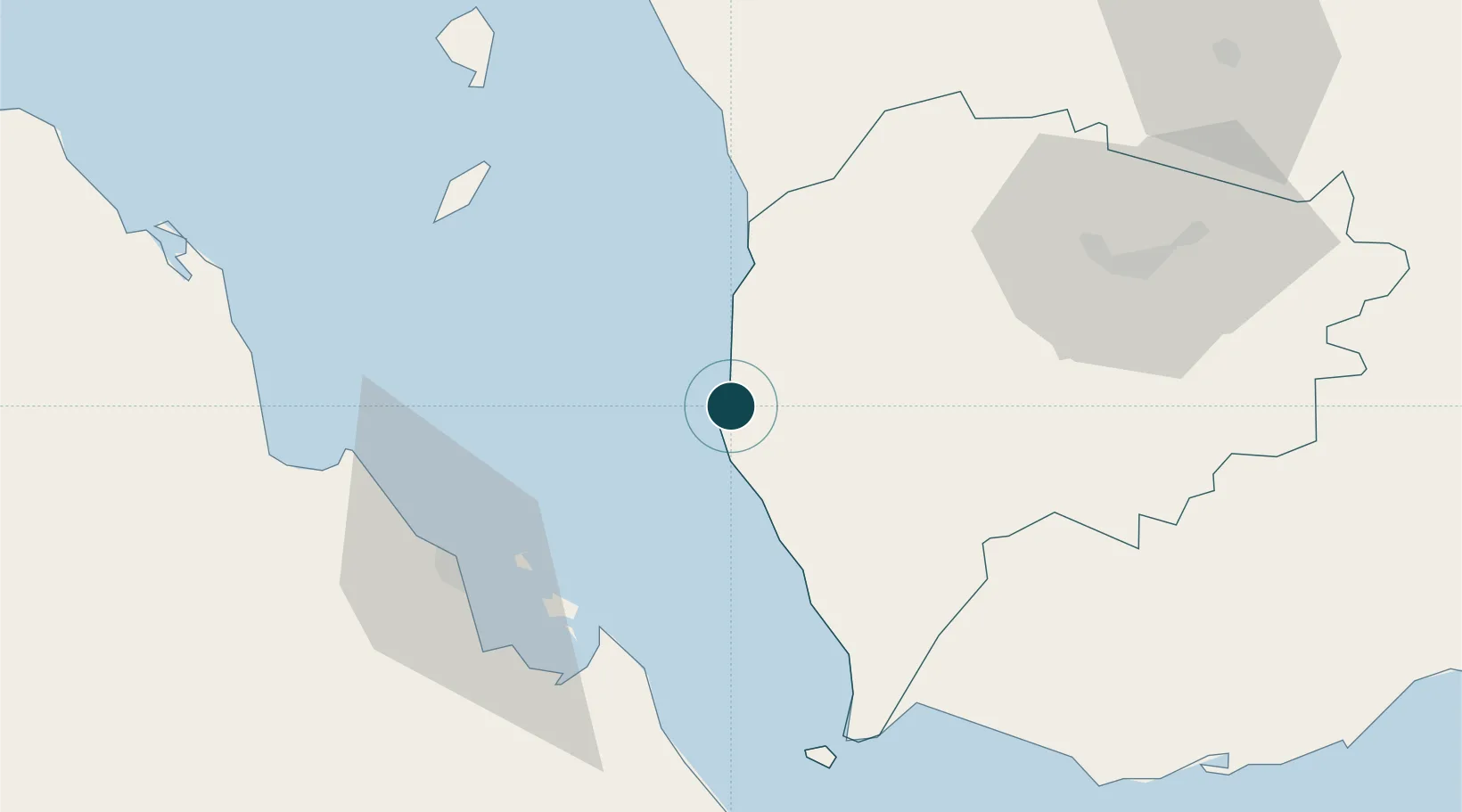
UNCTAD · Port Liner Shipping Connectivity Index

Location

Location of YEMOK
Natural Earth 10m (public domain) · Ta`izz · YEMOK · 13.32, 43.25GoogleOSMYandex

Nearby Logistics Neighbours

Ports
  1. 1Assab65 km
  2. 2Al Ahmadi171 km
  3. 3Djibouti191 km
  4. 4Doraleh191 km
  5. 5Aden194 km
Nearest neighbours — logibook spatial index (haversine) over the source coordinates
Cities
  1. 1Assab66 km
  2. 2Perim Island76 km
  3. 3Hodeidah172 km
  4. 4Little Aden187 km
  5. 5Djibouti192 km
Nearest neighbours — logibook spatial index (haversine) over the source coordinates
Airports
  1. 1Mokha International Airport3 km
  2. 2Assab International Airport71 km
  3. 3Taiz International Airport105 km
  4. 4Hodeida International Airport162 km
  5. 5Al Anad Air Base165 km
Nearest neighbours — logibook spatial index (haversine) over the source coordinates
Trade Zones
  1. 1Assab Free Trade Zone67 km
  2. 2UKAB Holdings Free Zone193 km
  3. 3Djibouti Free Zone193 km
  4. 4Touchroad Djibouti Special Economic Zone194 km
  5. 5Aden Free Zone196 km
Nearest neighbours — logibook spatial index (haversine) over the source coordinates
DatabookThe Record of Consolidated Knowledge
Yemen beyond logistics?
Browse databook

All Sources

Portsthe NGA World Port Index
Public domain (US gov)
Logistics performanceUNCTAD
CC BY 3.0 IGO
AirportsOurAirports
Public domain
LocationsUN/LOCODE
UN/LOCODE — free
Trade Zonesthe World Bank SEZ database
CC BY 4.0
Trade ZonesOpen Zone Map
CC BY
← Yemen ports