UN/LOCODE hub · Saudi Arabia
SAJEC
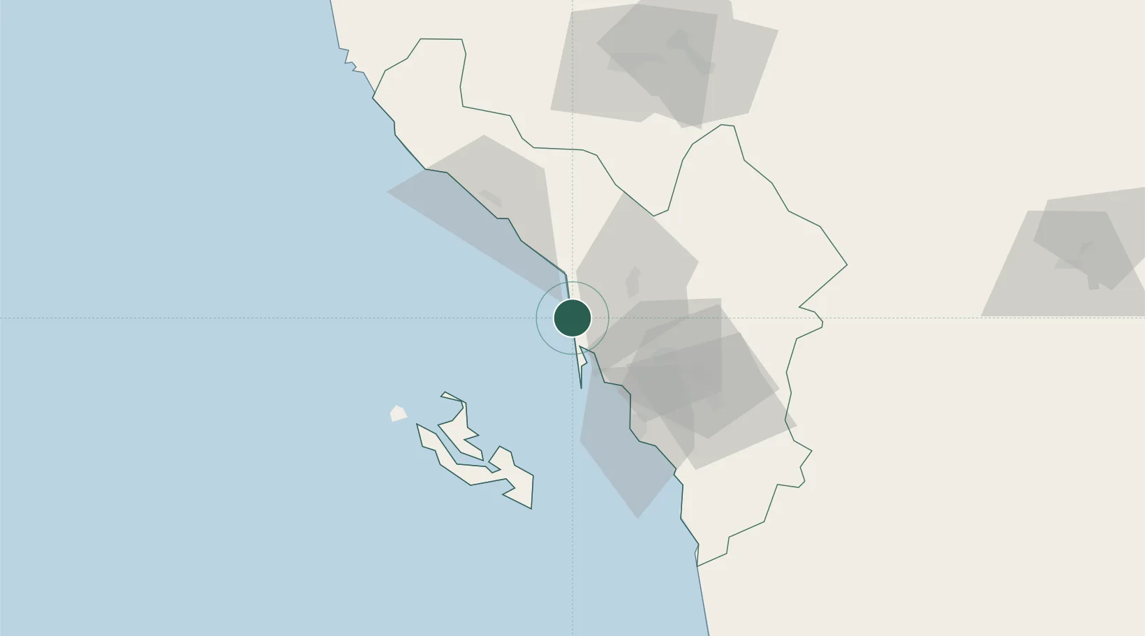
Jazan Economic City
17.2858°, 42.3306°
2
Transport functions
1
Container terminals
Transport Functions
Port
Road
Hub Profile
Region
09
Logistics facilities
1
Container terminals
1
Location
Nearby Logistics Neighbours
Cities
- 1Jizan47 km
- 2Al Qahmah108 km
- 3Muhayil142 km
- 4Ras Isa Terminal235 km
- 5Al Qunfudah243 km
Ports
- 1Jizan46 km
- 2Salif224 km
- 3Ras Isa Marine Terminal241 km
- 4Al Ahmadi281 km
- 5Mitsiwa Harbor357 km
Airports
Trade Zones
- 1Jazan Economic City5 km
- 2Jazan Industrial City59 km
- 3Assir Industrial City123 km
- 4Najran Industrial City216 km
- 5Al-Baha Industrial City (First)348 km
DatabookThe Record of Consolidated Knowledge
Saudi Arabia beyond logistics?