Large airport · Yemen

Mokha International AirportYE-0012
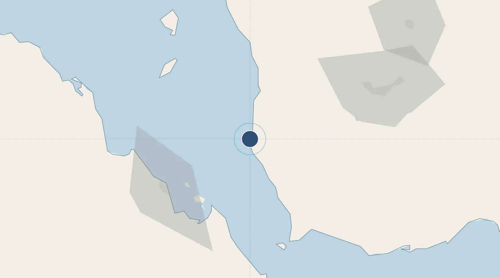
13.2969°, 43.2319°
9,843 ft
Longest runway
1
Runways

Runway & Layout

Mokha International Airport runway & taxiway layout
Runway & taxiway layout — OpenStreetMap (ODbL) / OurAirports

Runways · 1

RunwayDimensions SurfaceTrue headingLit
18/36 9,843 × 148ft Asphalt
OurAirports

Airport Specifications

ICAO code
OYMK
OurAirports
Airport class
Large airport
OurAirports
Scheduled service
Yes
OurAirports
Runway surface
Asphalt
OurAirports
Served city
Mokha
OurAirports

Location

Location of YE-0012
Natural Earth 10m (public domain) · Ta`izz · YE-0012 · 13.30, 43.23GoogleOSMYandex

Nearby Logistics Neighbours

Airports
  1. 1Assab International Airport68 km
  2. 2Taiz International Airport107 km
  3. 3Hodeida International Airport164 km
  4. 4Al Anad Air Base167 km
  5. 5Djibouti-Ambouli Airport195 km
Nearest neighbours — logibook spatial index (haversine) over the source coordinates
Cities
  1. 1Assab63 km
  2. 2Perim Island75 km
  3. 3Hodeidah174 km
  4. 4Little Aden188 km
  5. 5Djibouti190 km
Nearest neighbours — logibook spatial index (haversine) over the source coordinates
Ports
  1. 1Al Mukha3 km
  2. 2Assab62 km
  3. 3Al Ahmadi173 km
  4. 4Djibouti189 km
  5. 5Doraleh189 km
Nearest neighbours — logibook spatial index (haversine) over the source coordinates
Trade Zones
  1. 1Assab Free Trade Zone64 km
  2. 2UKAB Holdings Free Zone191 km
  3. 3Djibouti Free Zone191 km
  4. 4Touchroad Djibouti Special Economic Zone192 km
  5. 5Aden Free Zone197 km
Nearest neighbours — logibook spatial index (haversine) over the source coordinates
DatabookThe Record of Consolidated Knowledge
Yemen beyond logistics?
Browse databook

All Sources

AirportsOurAirports
Public domain
Portsthe NGA World Port Index
Public domain (US gov)
LocationsUN/LOCODE
UN/LOCODE — free
Trade Zonesthe World Bank SEZ database
CC BY 4.0
Trade ZonesOpen Zone Map
CC BY
InfrastructureOpenStreetMap
ODbL 1.0
← Yemen airports