Free Trade Zone · Saudi Arabia

Jazan Industrial City Active
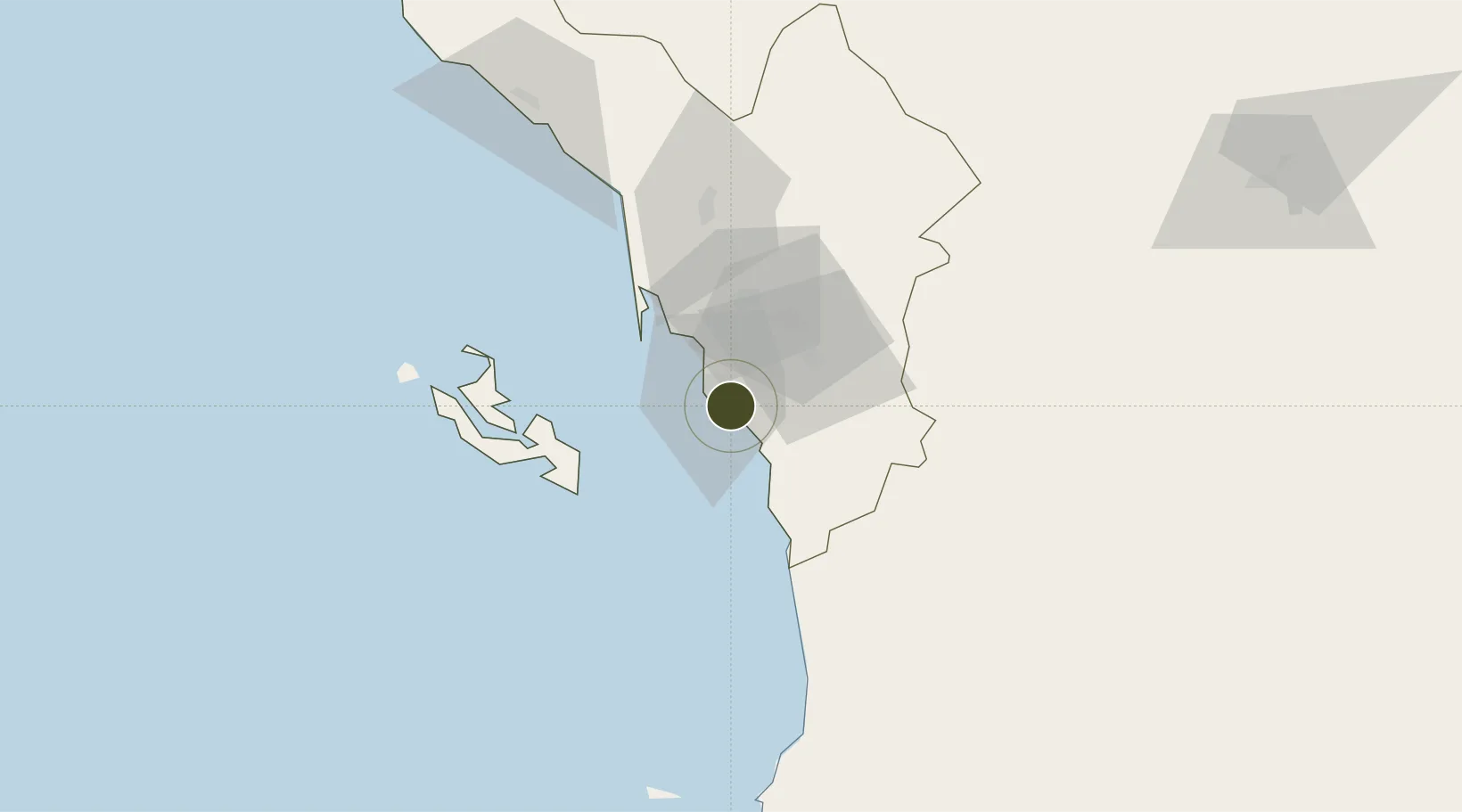
16.8386°, 42.6219°
3,900 ha
Zone area
16.3 km
Nearest port
7.9 km
Nearest airport

Gateway access

Nearest neighbours — logibook spatial index (haversine) over the source coordinates

Zone profile

Zone type
Free Trade Zone
Open Zone Map
Region
Jizan
Open Zone Map
Status
Active
Open Zone Map
Management
Public
Open Zone Map
Operator
Saudi Authority for Industrial Estates and Technology Zones
Open Zone Map
Legal framework
Ministerial Legislation No. 235 dated 27/8/1422H
Open Zone Map

Location

Location of ozm-4087
Natural Earth 10m (public domain) · Jizan · ozm-4087 · 16.84, 42.62GoogleOSMYandex

Nearby Logistics Neighbours

Ports
  1. 1Jizan16 km
  2. 2Salif171 km
  3. 3Ras Isa Marine Terminal190 km
  4. 4Al Ahmadi226 km
  5. 5Mitsiwa Harbor363 km
Nearest neighbours — logibook spatial index (haversine) over the source coordinates
Airports
  1. 1Jizan Regional Airport / King Abdullah bin Abdulaziz Airport8 km
  2. 2Abha International Airport156 km
  3. 3King Khalid Air Base163 km
  4. 4Najran Domestic Airport209 km
  5. 5Sanaa International Airport228 km
Nearest neighbours — logibook spatial index (haversine) over the source coordinates
Cities
  1. 1Jizan15 km
  2. 2Jazan Economic City59 km
  3. 3Al Qahmah166 km
  4. 4Ras Isa Terminal182 km
  5. 5Muhayil199 km
Nearest neighbours — logibook spatial index (haversine) over the source coordinates
Trade Zones
  1. 1Jazan Economic City60 km
  2. 2Assir Industrial City167 km
  3. 3Najran Industrial City201 km
  4. 4Massawa Free Trade Zone365 km
  5. 5Al-Baha Industrial City (First)403 km
Nearest neighbours — logibook spatial index (haversine) over the source coordinates
DatabookThe Record of Consolidated Knowledge
Saudi Arabia beyond logistics?
Browse databook

All Sources

Trade ZonesOpen Zone Map
CC BY
Portsthe NGA World Port Index
Public domain (US gov)
AirportsOurAirports
Public domain
LocationsUN/LOCODE
UN/LOCODE — free
← Saudi Arabia trade zones