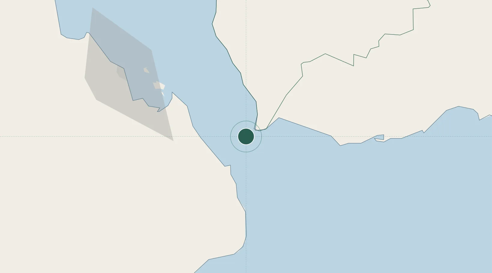
UN/LOCODE hub · Yemen
YEPRM

Perim Island

12.6500°, 43.4167°
1
Transport functions

Transport Functions

Port
UN/LOCODE

Hub Profile

Region
TA
GeoNames

Location

Location of YEPRM
Natural Earth 10m (public domain) · TA · YEPRM · 12.65, 43.42GoogleOSMYandex

Nearby Logistics Neighbours

Cities
  1. 1Assab84 km
  2. 2Djibouti122 km
  3. 3Djibouti123 km
  4. 4Camp Lemonier128 km
  5. 5Damerjog132 km
Nearest neighbours — logibook spatial index (haversine) over the source coordinates
Ports
  1. 1Al Mukha76 km
  2. 2Assab82 km
  3. 3Djibouti121 km
  4. 4Doraleh122 km
  5. 5Aden167 km
Nearest neighbours — logibook spatial index (haversine) over the source coordinates
Airports
  1. 1Mokha International Airport75 km
  2. 2Assab International Airport96 km
  3. 3Djibouti-Ambouli Airport126 km
  4. 4Taiz International Airport139 km
  5. 5Al Anad Air Base157 km
Nearest neighbours — logibook spatial index (haversine) over the source coordinates
Trade Zones
  1. 1Assab Free Trade Zone84 km
  2. 2Djibouti Free Zone123 km
  3. 3Touchroad Djibouti Special Economic Zone124 km
  4. 4UKAB Holdings Free Zone124 km
  5. 5Damerjog Industrial Development Free Zone132 km
Nearest neighbours — logibook spatial index (haversine) over the source coordinates
DatabookThe Record of Consolidated Knowledge
Yemen beyond logistics?
Browse databook

All Sources

LocationsUN/LOCODE
UN/LOCODE — free
Portsthe NGA World Port Index
Public domain (US gov)
AirportsOurAirports
Public domain
Trade Zonesthe World Bank SEZ database
CC BY 4.0
Trade ZonesOpen Zone Map
CC BY
← Yemen locations