Channel & Berth Profile
Pilotage, Tugs & Services
Pilotage compulsoryYES
Pilotage availableYES
Salvage tugsYES
Potable waterYES
Diesel bunkersNO
Garbage disposalNO
Facilities & Capabilities
Container—
Ro-Ro—
Liquid bulk—
Dry bulk—
Oil terminal—
Break bulk—
Dry dock—
Repairs—
BunkeringNO
Rail link—
Dangerous cargo—
ISPS security—
Harbour Specifications
Harbour size
Very Small
Harbour type
Coastal (Breakwater)
Shelter
Fair
Water body
Red Sea; Indian Ocean
Tidal range
1 m
Overhead limit
Yes
Pilotage
Yes
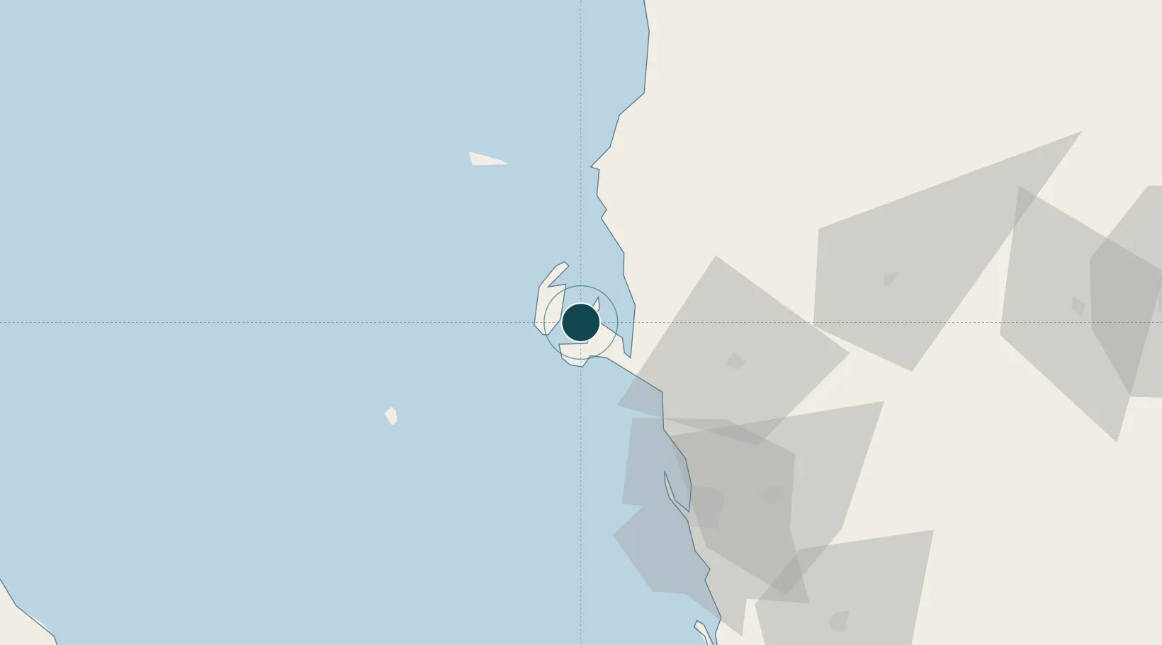
Location
Nearby Logistics Neighbours
Ports
- 1Ras Isa Marine Terminal20 km
- 2Al Ahmadi61 km
- 3Jizan179 km
- 4Al Mukha229 km
- 5Assab256 km
Cities
- 1Ras Isa Terminal11 km
- 2Hodeidah59 km
- 3Jizan179 km
- 4Jazan Economic City224 km
- 5Assab256 km
Airports
Trade Zones
- 1Jazan Industrial City171 km
- 2Jazan Economic City226 km
- 3Assab Free Trade Zone257 km
- 4Najran Industrial City311 km
- 5Assir Industrial City338 km
DatabookThe Record of Consolidated Knowledge
Yemen beyond logistics?