Medium airport · Yemen
Taiz International AirportOYTZ
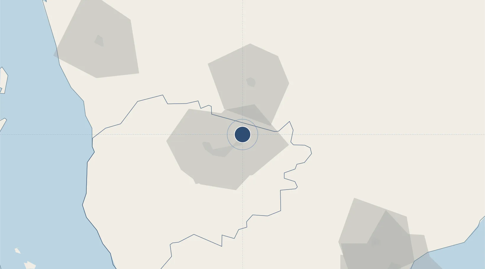
13.6860°, 44.1391°
10,040 ft
Longest runway
1
Runways
4,838 ft
Elevation
Runway & Layout

Radio Frequencies
TWR
118.5 MHz
TAIZ TWR
GND
121.6 MHz
TAIZ GND
RDO
511.5 MHz
Navaids
TAZ VOR-DME Taiz 113.60 MHz
TZ NDB Taiz 385 kHz
Runways · 1
| Runway | Dimensions | Surface | True heading | Lit |
|---|---|---|---|---|
| 01/19 | 10,040 × 148ft | Asphalt | 008° | — |
Airport Specifications
IATA code
TAI
ICAO code
OYTZ
Airport class
Medium airport
Scheduled service
Yes
Runway surface
Asphalt
Served city
Taiz
Location
Nearby Logistics Neighbours
Airports
- 1Al Anad Air Base88 km
- 2Mokha International Airport107 km
- 3Aden International Airport136 km
- 4Hodeida International Airport173 km
- 5Assab International Airport176 km
Cities
- 1Little Aden132 km
- 2Aden136 km
- 3Perim Island139 km
- 4'Adan141 km
- 5Assab170 km
Ports
- 1Al Mukha105 km
- 2Aden133 km
- 3Assab169 km
- 4Al Ahmadi180 km
- 5Ras Isa Marine Terminal231 km
Trade Zones
- 1Aden Free Zone132 km
- 2Assab Free Trade Zone171 km
- 3Djibouti Free Zone258 km
- 4Touchroad Djibouti Special Economic Zone259 km
- 5UKAB Holdings Free Zone261 km
DatabookThe Record of Consolidated Knowledge
Yemen beyond logistics?