Channel & Berth Profile
Pilotage, Tugs & Services
Pilotage compulsoryYES
Shore powerYES
Potable waterYES
Diesel bunkersYES
MedicalYES
Garbage disposalNO
Facilities & Capabilities
Container—
Ro-Ro—
Liquid bulk—
Dry bulk—
Oil terminal—
Break bulk—
Dry dock—
RepairsNO
BunkeringYES
Rail linkYES
Dangerous cargo—
ISPS security—
Harbour Specifications
Harbour size
Very Small
Harbour type
Coastal (Natural)
Shelter
Good
Water body
North Pacific Ocean
Tidal range
1.2 m
Pilotage
Yes
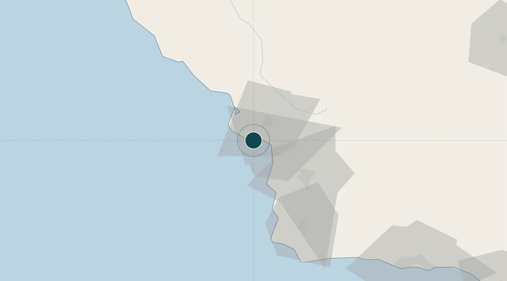
Location
Nearby Logistics Neighbours
Ports
- 1Pismo Beach10 km
- 2Morro Bay24 km
- 3Ellwood112 km
- 4Santa Barbara128 km
- 5Carpinteria142 km
Cities
- 1Grover Beach13 km
- 2Cayucos32 km
- 3Atascadero36 km
- 4Creston44 km
- 5Orcutt46 km
Airports
Trade Zones
- 1FTZ No. 276 Kern County159 km
- 2FTZ No. 205 Port Hueneme181 km
- 3FTZ No. 226 Merced, Madera and Fresno Counties239 km
- 4FTZ No. 191 Palmdale249 km
- 5FTZ No. 018 San Jose262 km
DatabookThe Record of Consolidated Knowledge
United States beyond logistics?