Foreign Trade Zone · United States

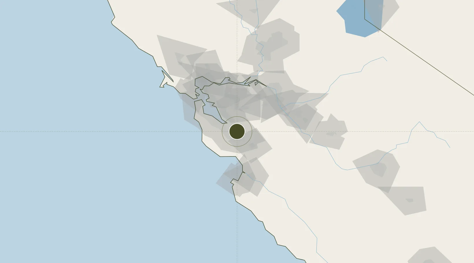
FTZ No. 018 San Jose Active

37.3379°, -121.8849°
35.3 km
Nearest port
4.8 km
Nearest airport

Gateway access

Nearest neighbours — logibook spatial index (haversine) over the source coordinates

Zone profile

Zone type
Foreign Trade Zone
Open Zone Map
Region
California
Open Zone Map
Status
Active
Open Zone Map
Management
Public
Open Zone Map
Operator
San Jose Office of Economic Development
Open Zone Map
Legal framework
Foreign-Trade Zones Act
Open Zone Map

Location

Location of ozm-4765
Natural Earth 10m (public domain) · California · ozm-4765 · 37.34, -121.88GoogleOSMYandex

Nearby Logistics Neighbours

Ports
  1. 1Redwood City35 km
  2. 2Santa Cruz43 km
  3. 3Davenport45 km
  4. 4Alameda60 km
  5. 5Moss61 km
Nearest neighbours — logibook spatial index (haversine) over the source coordinates
Airports
  1. 1Norman Y. Mineta San Jose International Airport5 km
  2. 2Moffett Federal Airfield17 km
  3. 3Palo Alto Airport25 km
  4. 4San Carlos Airport38 km
  5. 5San Francisco Bay Oakland International Airport52 km
Nearest neighbours — logibook spatial index (haversine) over the source coordinates
Cities
  1. 1San Jose6 km
  2. 2Guadalupe15 km
  3. 3Sunol27 km
  4. 4Portola Valley31 km
  5. 5Woodside35 km
Nearest neighbours — logibook spatial index (haversine) over the source coordinates
Trade Zones
  1. 1FTZ No. 056 Oakland62 km
  2. 2FTZ No. 003 San Francisco68 km
  3. 3FTZ No. 231 Stockton84 km
  4. 4FTZ No. 226 Merced, Madera and Fresno Counties124 km
  5. 5FTZ No. 143 West Sacramento142 km
Nearest neighbours — logibook spatial index (haversine) over the source coordinates
DatabookThe Record of Consolidated Knowledge
United States beyond logistics?
Browse databook

All Sources

Trade ZonesOpen Zone Map
CC BY
Portsthe NGA World Port Index
Public domain (US gov)
AirportsOurAirports
Public domain
LocationsUN/LOCODE
UN/LOCODE — free
← United States trade zones