UN/LOCODE hub · United States
USAFC
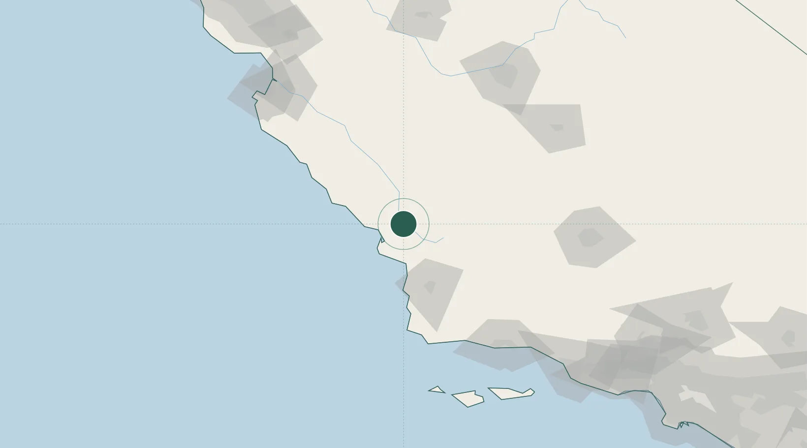
Atascadero
35.4833°, -120.6667°
29,819
Population
2
Transport functions
Transport Functions
Rail
Road
Hub Profile
Place type
Populated place
Region
California
Population
29,819
Time zone
America/Los_Angeles
Elevation
268 m
Location
Nearby Logistics Neighbours
Cities
- 1Creston14 km
- 2Cayucos20 km
- 3Port San Luis36 km
- 4Grover Beach41 km
- 5Orcutt74 km
Ports
- 1Morro Bay21 km
- 2Port San Luis36 km
- 3Pismo Beach39 km
- 4Ellwood135 km
- 5Santa Barbara149 km
Airports
Trade Zones
- 1FTZ No. 276 Kern County150 km
- 2FTZ No. 205 Port Hueneme200 km
- 3FTZ No. 226 Merced, Madera and Fresno Counties203 km
- 4FTZ No. 018 San Jose233 km
- 5FTZ No. 191 Palmdale253 km
DatabookThe Record of Consolidated Knowledge
United States beyond logistics?