Channel & Berth Profile
Pilotage, Tugs & Services
Pilotage compulsoryYES
Shore powerYES
Potable waterYES
Diesel bunkersYES
MedicalYES
Garbage disposalYES
Facilities & Capabilities
Container—
Ro-Ro—
Liquid bulk—
Dry bulk—
Oil terminal—
Break bulk—
Dry dock—
RepairsNO
BunkeringYES
Rail linkYES
Dangerous cargo—
ISPS security—
Harbour Specifications
Harbour size
Very Small
Harbour type
Coastal (Breakwater)
Shelter
Fair
Water body
North Pacific Ocean
Tidal range
1.2 m
Pilotage
Yes
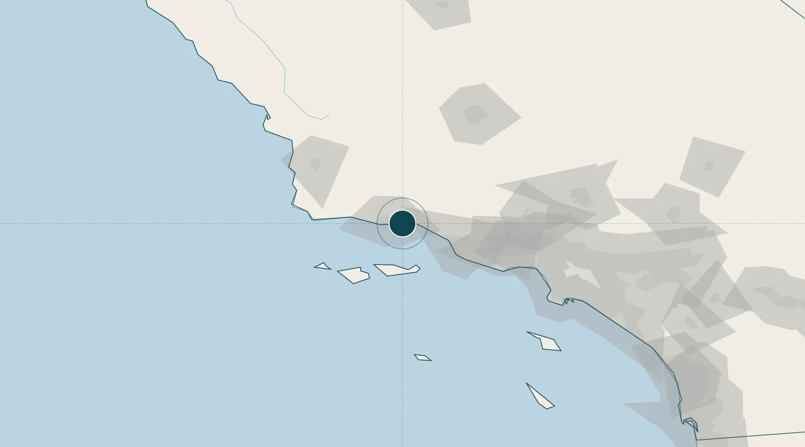
Location
Nearby Logistics Neighbours
Ports
- 1Carpinteria16 km
- 2Ellwood22 km
- 3Ventura40 km
- 4Port Hueneme53 km
- 5Pismo Beach119 km
Cities
- 1Summerland8 km
- 2Goleta14 km
- 3Ellwood18 km
- 4Elwood18 km
- 5Capitan32 km
Airports
Trade Zones
- 1FTZ No. 205 Port Hueneme53 km
- 2FTZ No. 276 Kern County123 km
- 3FTZ No. 191 Palmdale145 km
- 4FTZ No. 202 Los Angeles149 km
- 5FTZ No. 050 Long Beach158 km
DatabookThe Record of Consolidated Knowledge
United States beyond logistics?