Medium airport · United States
Santa Barbara Municipal AirportKSBA
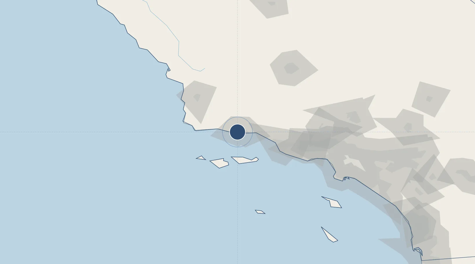
34.4262°, -119.8400°
6,052 ft
Longest runway
3
Runways
13 ft
Elevation
Runway & Layout

Radio Frequencies
ATIS
132.65 MHz
TWR
119.7 MHz
GND
121.7 MHz
CLD
132.9 MHz
CLNC DEL
CTAF
119.7 MHz
A/D
120.55 MHz
151-329° INITIAL CONTACT
A/D
124.15 MHz
A/D SANTA BARBARA
A/D
125.4 MHz
330-150° INITAL CONTACT
A/D
127.725 MHz
A/D SANTA BARBARA
CTR
119.05 MHz
LOS ANGELES CENTER
UNIC
122.95 MHz
UNICOM
Navaids
GVO VORTAC Gaviota 113.80 MHz
RZS VORTAC San Marcus 114.90 MHz
Runways · 3
| Runway | Dimensions | Surface | True heading | Lit |
|---|---|---|---|---|
| 07/25 | 6,052 × 150ft | Asphalt | 088° | ✓ |
| 15R/33L | 4,184 × 100ft | Asphalt | 166° | ✓ |
| 15L/33R | 4,180 × 75ft | Asphalt | 166° | — |
Airport Specifications
IATA code
SBA
ICAO code
KSBA
Airport class
Medium airport
Scheduled service
Yes
Runway surface
Asphalt
Served city
Santa Barbara
Location
Nearby Logistics Neighbours
Airports
Cities
- 1Goleta1 km
- 2Elwood4 km
- 3Ellwood4 km
- 4Capitan18 km
- 5Summerland22 km
Ports
- 1Ellwood7 km
- 2Santa Barbara14 km
- 3Carpinteria30 km
- 4Ventura54 km
- 5Port Hueneme66 km
Trade Zones
- 1FTZ No. 205 Port Hueneme66 km
- 2FTZ No. 276 Kern County129 km
- 3FTZ No. 191 Palmdale159 km
- 4FTZ No. 202 Los Angeles163 km
- 5FTZ No. 050 Long Beach171 km
DatabookThe Record of Consolidated Knowledge
United States beyond logistics?