Foreign Trade Zone · United States

FTZ No. 191 Palmdale Active

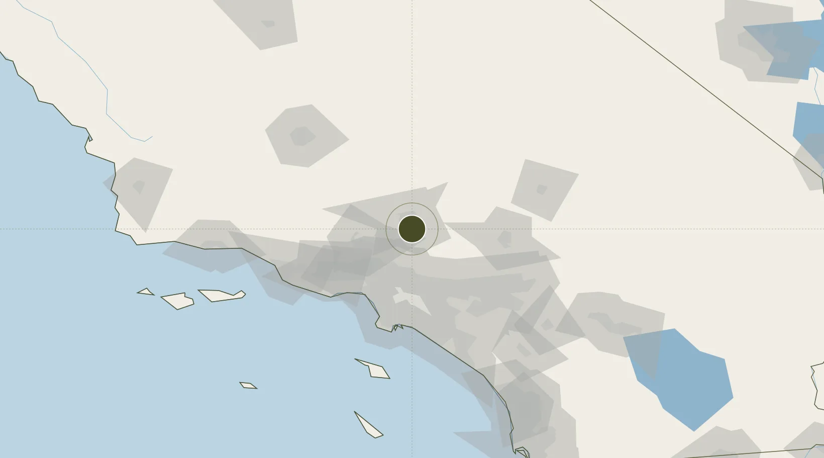
34.5780°, -118.1159°
79.1 km
Nearest port
6.4 km
Nearest airport

Gateway access

Nearest neighbours — logibook spatial index (haversine) over the source coordinates

Zone profile

Zone type
Foreign Trade Zone
Open Zone Map
Region
California
Open Zone Map
Status
Active
Open Zone Map
Management
Public
Open Zone Map
Operator
City of Palmdale Economic Development
Open Zone Map
Legal framework
Foreign-Trade Zones Act
Open Zone Map

Location

Location of ozm-4810
Natural Earth 10m (public domain) · California · ozm-4810 · 34.58, -118.12GoogleOSMYandex

Nearby Logistics Neighbours

Ports
  1. 1El Segundo79 km
  2. 2Long Beach90 km
  3. 3Los Angeles93 km
  4. 4Newport Beach109 km
  5. 5Port Hueneme110 km
Nearest neighbours — logibook spatial index (haversine) over the source coordinates
Airports
  1. 1Palmdale Regional Airport / USAF Plant 42 Airport6 km
  2. 2General William J Fox Airfield20 km
  3. 3Edwards Air Force Base43 km
  4. 4Hollywood Burbank Airport47 km
  5. 5Mojave Air & Space Port53 km
Nearest neighbours — logibook spatial index (haversine) over the source coordinates
Cities
  1. 1Palmdale3 km
  2. 2Alpine, Los Angeles5 km
  3. 3Littlerock15 km
  4. 4Llano29 km
  5. 5Rosamond30 km
Nearest neighbours — logibook spatial index (haversine) over the source coordinates
Trade Zones
  1. 1FTZ No. 243 Victorville68 km
  2. 2FTZ No. 050 Long Beach85 km
  3. 3FTZ No. 202 Los Angeles94 km
  4. 4FTZ No. 244 Riverside County106 km
  5. 5FTZ No. 205 Port Hueneme110 km
Nearest neighbours — logibook spatial index (haversine) over the source coordinates
DatabookThe Record of Consolidated Knowledge
United States beyond logistics?
Browse databook

All Sources

Trade ZonesOpen Zone Map
CC BY
Portsthe NGA World Port Index
Public domain (US gov)
AirportsOurAirports
Public domain
LocationsUN/LOCODE
UN/LOCODE — free
← United States trade zones