Channel & Berth Profile
Pilotage, Tugs & Services
Pilotage compulsoryYES
Facilities & Capabilities
Container—
Ro-Ro—
Liquid bulk—
Dry bulk—
Oil terminal—
Break bulk—
Dry dock—
Repairs—
BunkeringYES
Rail link—
Dangerous cargo—
ISPS security—
Harbour Specifications
Harbour size
Very Small
Harbour type
Open Roadstead
Shelter
Fair
Water body
North Pacific Ocean
Tidal range
1.2 m
Pilotage
Yes
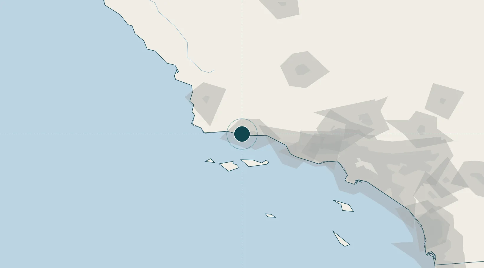
Location
Nearby Logistics Neighbours
Ports
- 1Santa Barbara22 km
- 2Carpinteria37 km
- 3Ventura61 km
- 4Port Hueneme73 km
- 5Pismo Beach103 km
Cities
- 1Elwood3 km
- 2Goleta8 km
- 3Capitan11 km
- 4Summerland29 km
- 5Los Alamos49 km
Airports
Trade Zones
- 1FTZ No. 205 Port Hueneme73 km
- 2FTZ No. 276 Kern County133 km
- 3FTZ No. 191 Palmdale166 km
- 4FTZ No. 202 Los Angeles169 km
- 5FTZ No. 050 Long Beach178 km
DatabookThe Record of Consolidated Knowledge
United States beyond logistics?