Foreign Trade Zone · United States

FTZ No. 276 Kern County Active

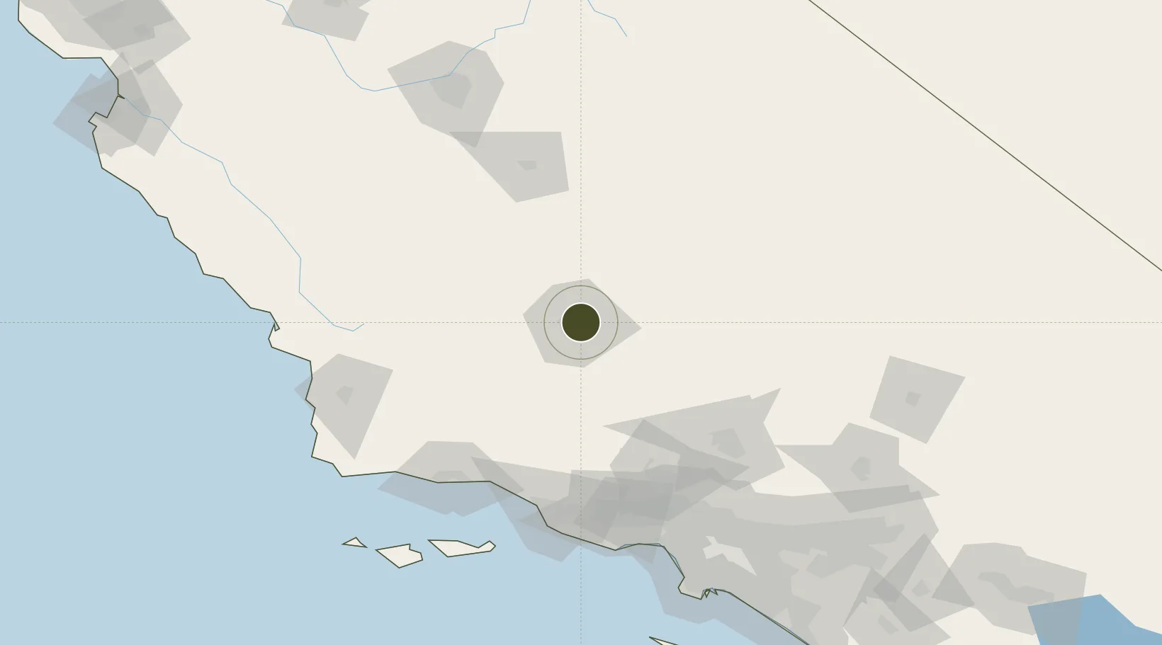
35.3727°, -119.0142°
1,450 ha
Zone area
119.2 km
Nearest port
5.6 km
Nearest airport

Gateway access

Nearest neighbours — logibook spatial index (haversine) over the source coordinates

Zone profile

Zone type
Foreign Trade Zone
Open Zone Map
Region
California
Open Zone Map
Status
Active
Open Zone Map
Management
Public
Open Zone Map
Operator
Kern County
Open Zone Map
Legal framework
Foreign-Trade Zones Act
Open Zone Map

Location

Location of ozm-4725
Natural Earth 10m (public domain) · California · ozm-4725 · 35.37, -119.01GoogleOSMYandex

Nearby Logistics Neighbours

Ports
  1. 1Carpinteria119 km
  2. 2Santa Barbara123 km
  3. 3Ventura124 km
  4. 4Ellwood133 km
  5. 5Port Hueneme137 km
Nearest neighbours — logibook spatial index (haversine) over the source coordinates
Airports
  1. 1Bakersfield International Airport6 km
  2. 2Meadows Field8 km
  3. 3Mojave Air & Space Port86 km
  4. 4California City Municipal Airport94 km
  5. 5General William J Fox Airfield101 km
Nearest neighbours — logibook spatial index (haversine) over the source coordinates
Cities
  1. 1Shafter, Kern27 km
  2. 2Buttonwillow41 km
  3. 3Taft48 km
  4. 4Richgrove48 km
  5. 5Maricopa50 km
Nearest neighbours — logibook spatial index (haversine) over the source coordinates
Trade Zones
  1. 1FTZ No. 191 Palmdale120 km
  2. 2FTZ No. 205 Port Hueneme137 km
  3. 3FTZ No. 243 Victorville173 km
  4. 4FTZ No. 050 Long Beach191 km
  5. 5FTZ No. 202 Los Angeles194 km
Nearest neighbours — logibook spatial index (haversine) over the source coordinates
DatabookThe Record of Consolidated Knowledge
United States beyond logistics?
Browse databook

All Sources

Trade ZonesOpen Zone Map
CC BY
Portsthe NGA World Port Index
Public domain (US gov)
AirportsOurAirports
Public domain
LocationsUN/LOCODE
UN/LOCODE — free
← United States trade zones