UN/LOCODE hub · United States
USYU5
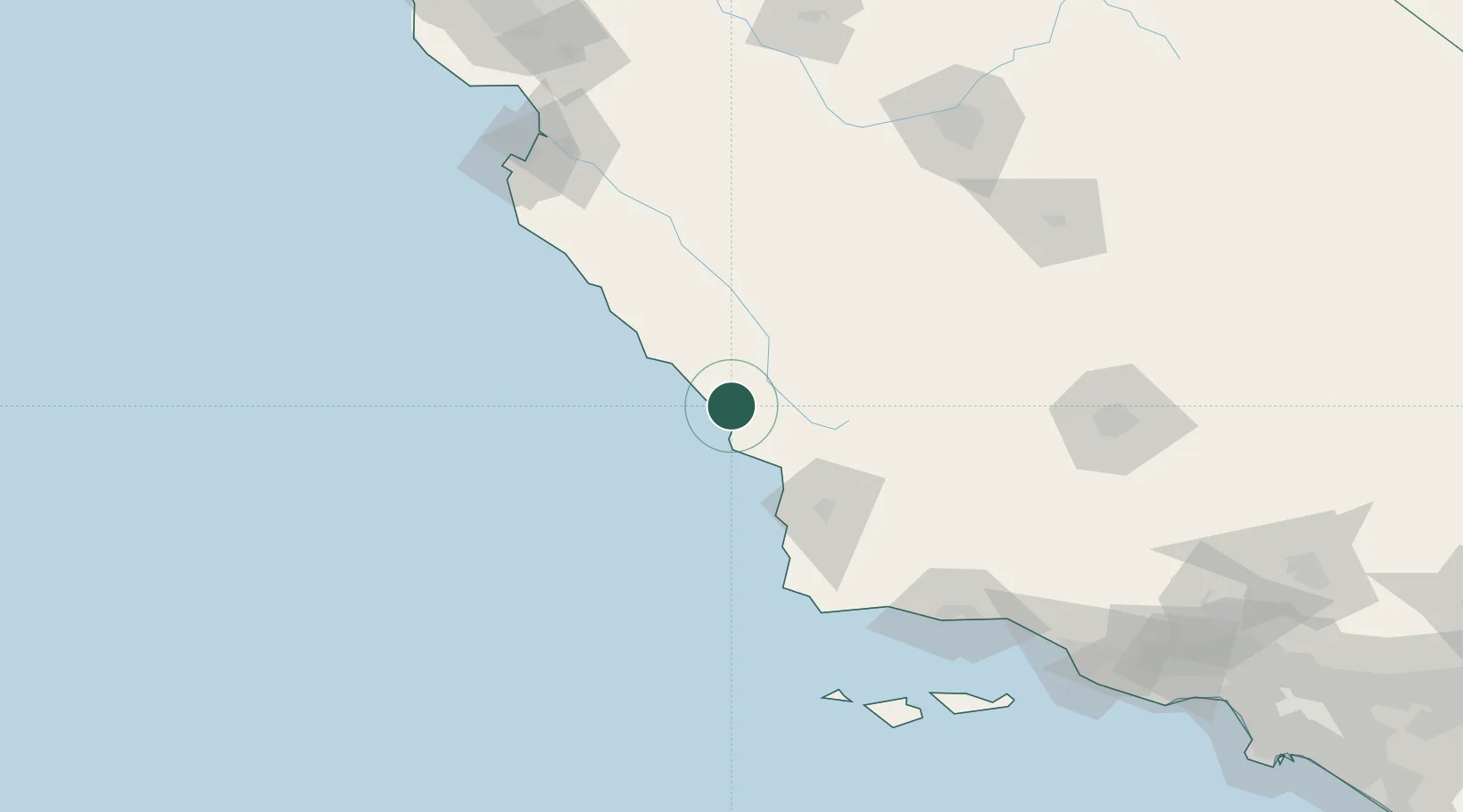
Cayucos
35.4333°, -120.8833°
2,592
Population
1
Transport functions
Transport Functions
Port
Hub Profile
Place type
Populated place
Region
California
Population
2,592
Time zone
America/Los_Angeles
Elevation
23 m
Location
Nearby Logistics Neighbours
Cities
- 1Atascadero20 km
- 2Port San Luis32 km
- 3Creston35 km
- 4Grover Beach43 km
- 5Orcutt77 km
Ports
- 1Morro Bay8 km
- 2Port San Luis32 km
- 3Pismo Beach40 km
- 4Ellwood142 km
- 5Santa Barbara157 km
Airports
Trade Zones
- 1FTZ No. 276 Kern County170 km
- 2FTZ No. 205 Port Hueneme210 km
- 3FTZ No. 226 Merced, Madera and Fresno Counties211 km
- 4FTZ No. 018 San Jose230 km
- 5FTZ No. 191 Palmdale269 km
DatabookThe Record of Consolidated Knowledge
United States beyond logistics?