Foreign Trade Zone · United States

FTZ No. 226 Merced, Madera and Fresno Counties Active

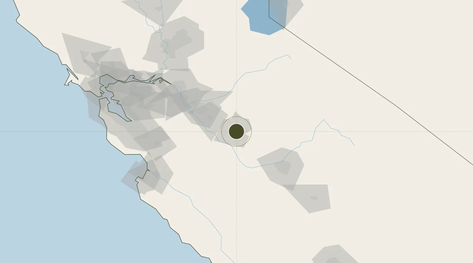
37.3069°, -120.4813°
2,600 ha
Zone area
101.5 km
Nearest port
3.8 km
Nearest airport

Gateway access

Nearest neighbours — logibook spatial index (haversine) over the source coordinates

Zone profile

Zone type
Foreign Trade Zone
Open Zone Map
Region
California
Open Zone Map
Status
Active
Open Zone Map
Management
Public
Open Zone Map
Operator
Board of Supervisors of the County of Merced
Open Zone Map
Legal framework
Foreign-Trade Zones Act
Open Zone Map

Location

Location of ozm-4730
Natural Earth 10m (public domain) · California · ozm-4730 · 37.31, -120.48GoogleOSMYandex

Nearby Logistics Neighbours

Ports
  1. 1Stockton102 km
  2. 2Moss129 km
  3. 3Isleton137 km
  4. 4Walnut Grove138 km
  5. 5Antioch140 km
Nearest neighbours — logibook spatial index (haversine) over the source coordinates
Airports
  1. 1Merced Regional Macready Field4 km
  2. 2Castle Airport11 km
  3. 3Modesto City Co-Harry Sham Field55 km
  4. 4Fresno Yosemite International Airport90 km
  5. 5Stockton Metropolitan Airport93 km
Nearest neighbours — logibook spatial index (haversine) over the source coordinates
Cities
  1. 1Livingston23 km
  2. 2Sierra Vista25 km
  3. 3Chowchilla29 km
  4. 4Hilmar33 km
  5. 5Denair38 km
Nearest neighbours — logibook spatial index (haversine) over the source coordinates
Trade Zones
  1. 1FTZ No. 231 Stockton103 km
  2. 2FTZ No. 018 San Jose124 km
  3. 3FTZ No. 056 Oakland167 km
  4. 4FTZ No. 143 West Sacramento169 km
  5. 5FTZ No. 003 San Francisco177 km
Nearest neighbours — logibook spatial index (haversine) over the source coordinates
DatabookThe Record of Consolidated Knowledge
United States beyond logistics?
Browse databook

All Sources

Trade ZonesOpen Zone Map
CC BY
Portsthe NGA World Port Index
Public domain (US gov)
AirportsOurAirports
Public domain
LocationsUN/LOCODE
UN/LOCODE — free
← United States trade zones