UN/LOCODE hub · United States
US8MN
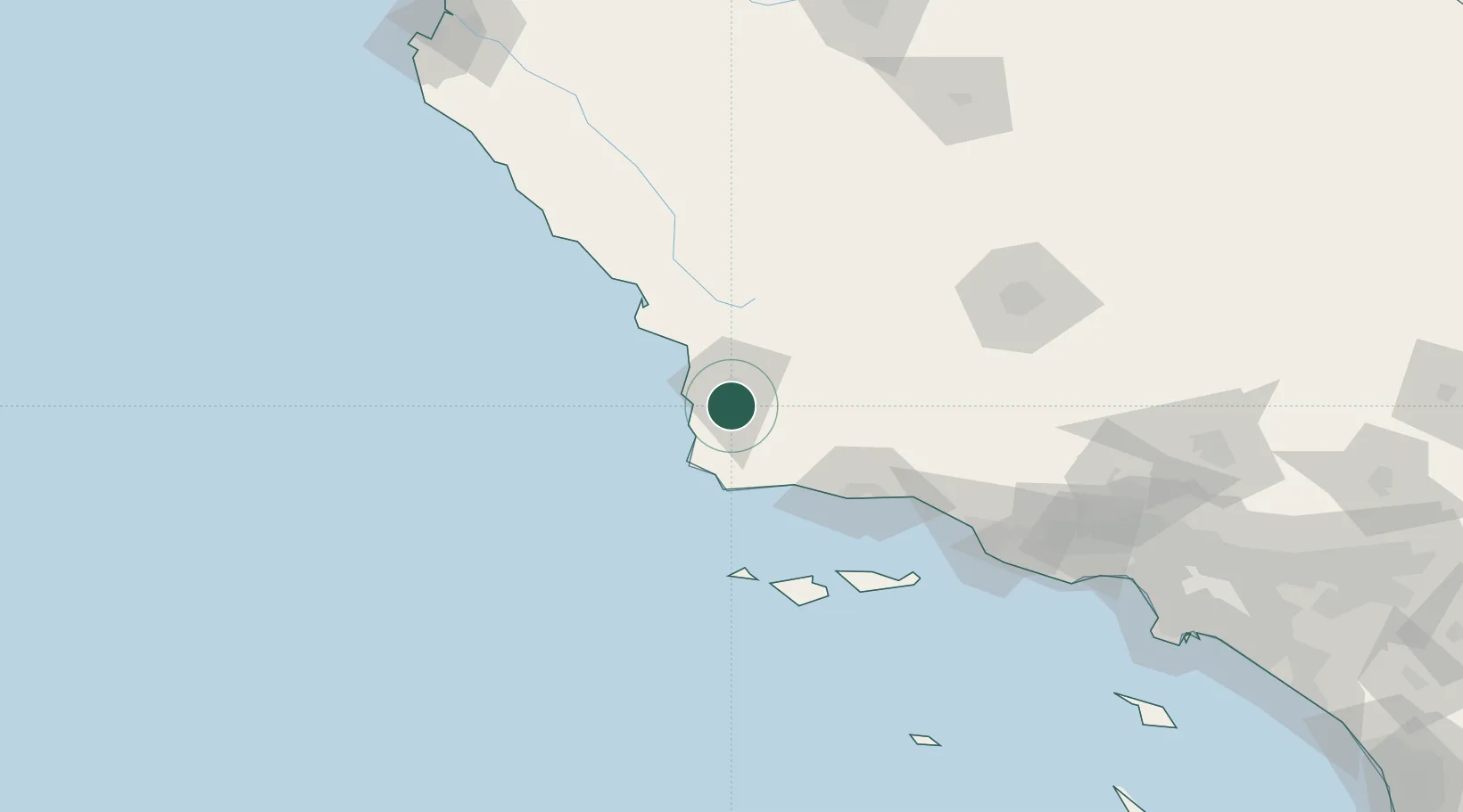
Orcutt
34.8500°, -120.4333°
28,905
Population
2
Transport functions
Transport Functions
Port
Road
Hub Profile
Place type
Populated place
Region
California
Population
28,905
Time zone
America/Los_Angeles
Elevation
109 m
Location
Nearby Logistics Neighbours
Cities
- 1Los Alamos18 km
- 2Grover Beach34 km
- 3Point Conception45 km
- 4Port San Luis46 km
- 5Capitan58 km
Ports
- 1Pismo Beach37 km
- 2Port San Luis46 km
- 3Ellwood66 km
- 4Morro Bay69 km
- 5Santa Barbara84 km
Airports
Trade Zones
- 1FTZ No. 205 Port Hueneme137 km
- 2FTZ No. 276 Kern County142 km
- 3FTZ No. 191 Palmdale214 km
- 4FTZ No. 202 Los Angeles233 km
- 5FTZ No. 050 Long Beach241 km
DatabookThe Record of Consolidated Knowledge
United States beyond logistics?