Medium airport · United States
Santa Maria Public Airport Captain G Allan Hancock FieldKSMX
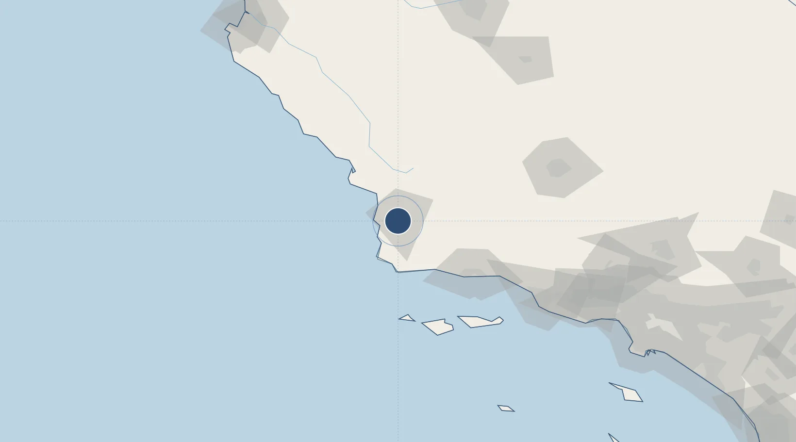
34.8989°, -120.4570°
8,004 ft
Longest runway
2
Runways
261 ft
Elevation
Runway & Layout

Radio Frequencies
ATIS
121.15 MHz
TWR
118.3 MHz
GND
121.9 MHz
CTAF
118.3 MHz
A/D
124.15 MHz
SANTA BARB APP/DEP
CTR
119.05 MHz
LOS ANGELES CENTER
RDO
111 MHz
HAWTHORNE RDO
UNIC
122.95 MHz
UNICOM
Navaids
GLJ VOR Guadalupe 111.00 MHz
MQO VORTAC Morro Bay 112.40 MHz
Runways · 2
| Runway | Dimensions | Surface | True heading | Lit |
|---|---|---|---|---|
| 12/30 | 8,004 × 150ft | Asphalt | 136° | ✓ |
| 02/20 | 5,199 × 75ft | Asphalt | 036° | — |
Airport Specifications
IATA code
SMX
ICAO code
KSMX
Airport class
Medium airport
Scheduled service
Yes
Runway surface
Asphalt
Served city
Santa Maria
Location
Nearby Logistics Neighbours
Airports
Cities
- 1Orcutt6 km
- 2Los Alamos23 km
- 3Grover Beach28 km
- 4Port San Luis40 km
- 5Point Conception50 km
Ports
- 1Pismo Beach31 km
- 2Port San Luis40 km
- 3Morro Bay63 km
- 4Ellwood72 km
- 5Santa Barbara89 km
Trade Zones
- 1FTZ No. 276 Kern County141 km
- 2FTZ No. 205 Port Hueneme142 km
- 3FTZ No. 191 Palmdale217 km
- 4FTZ No. 202 Los Angeles238 km
- 5FTZ No. 050 Long Beach245 km
DatabookThe Record of Consolidated Knowledge
United States beyond logistics?