Transport Functions
Port
Multimodal
Hub Profile
Place type
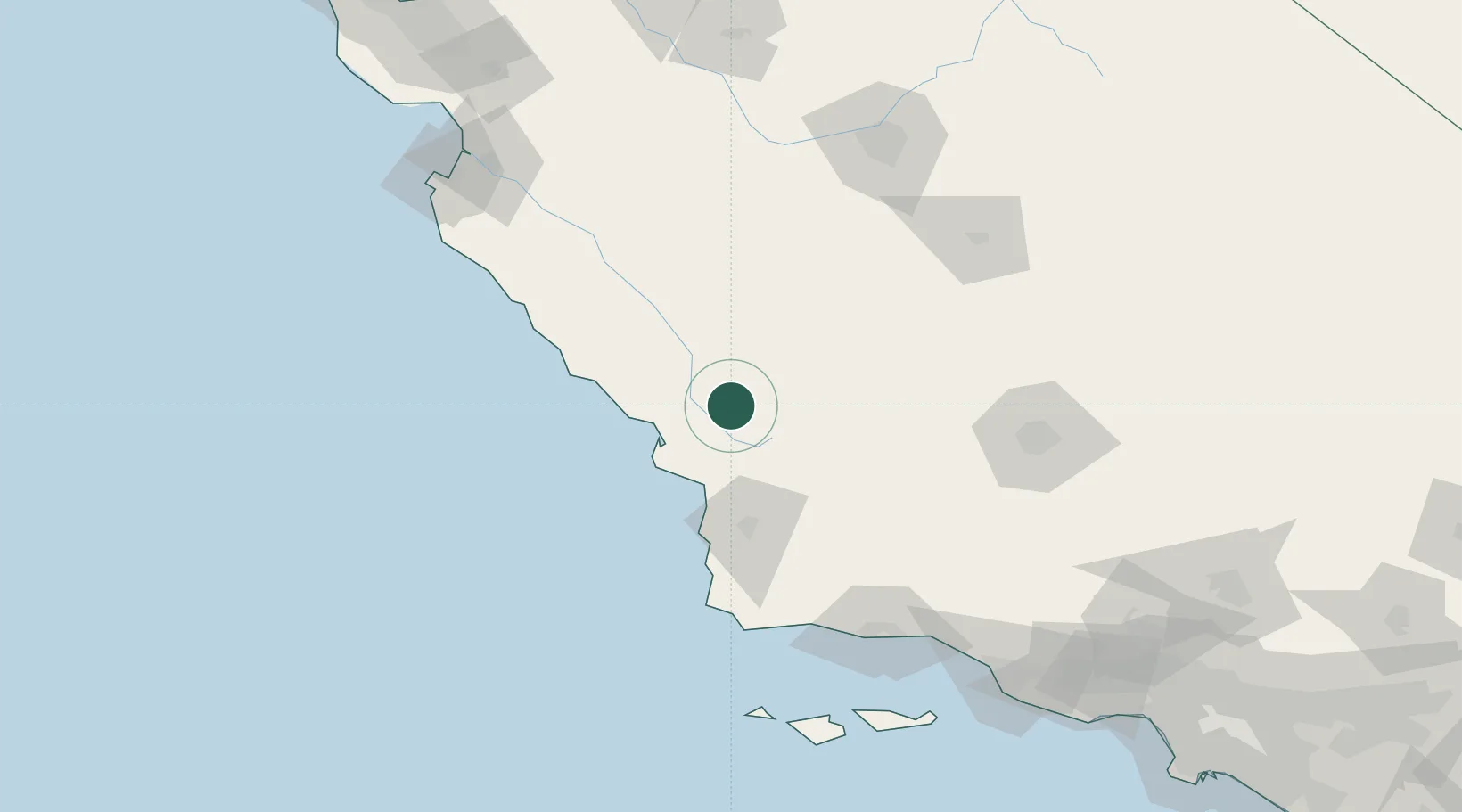
Populated place
Region
California
Population
94
Time zone
America/Los_Angeles
Elevation
341 m
Location
Nearby Logistics Neighbours
Cities
- 1Atascadero14 km
- 2Cayucos35 km
- 3Port San Luis44 km
- 4Grover Beach45 km
- 5Kettleman City74 km
Ports
- 1Morro Bay35 km
- 2Port San Luis44 km
- 3Pismo Beach44 km
- 4Ellwood132 km
- 5Santa Barbara144 km
Airports
Trade Zones
- 1FTZ No. 276 Kern County137 km
- 2FTZ No. 205 Port Hueneme194 km
- 3FTZ No. 226 Merced, Madera and Fresno Counties199 km
- 4FTZ No. 018 San Jose237 km
- 5FTZ No. 191 Palmdale242 km
DatabookThe Record of Consolidated Knowledge
United States beyond logistics?