Medium airport · United States
Vandenberg Space Force BaseKVBG
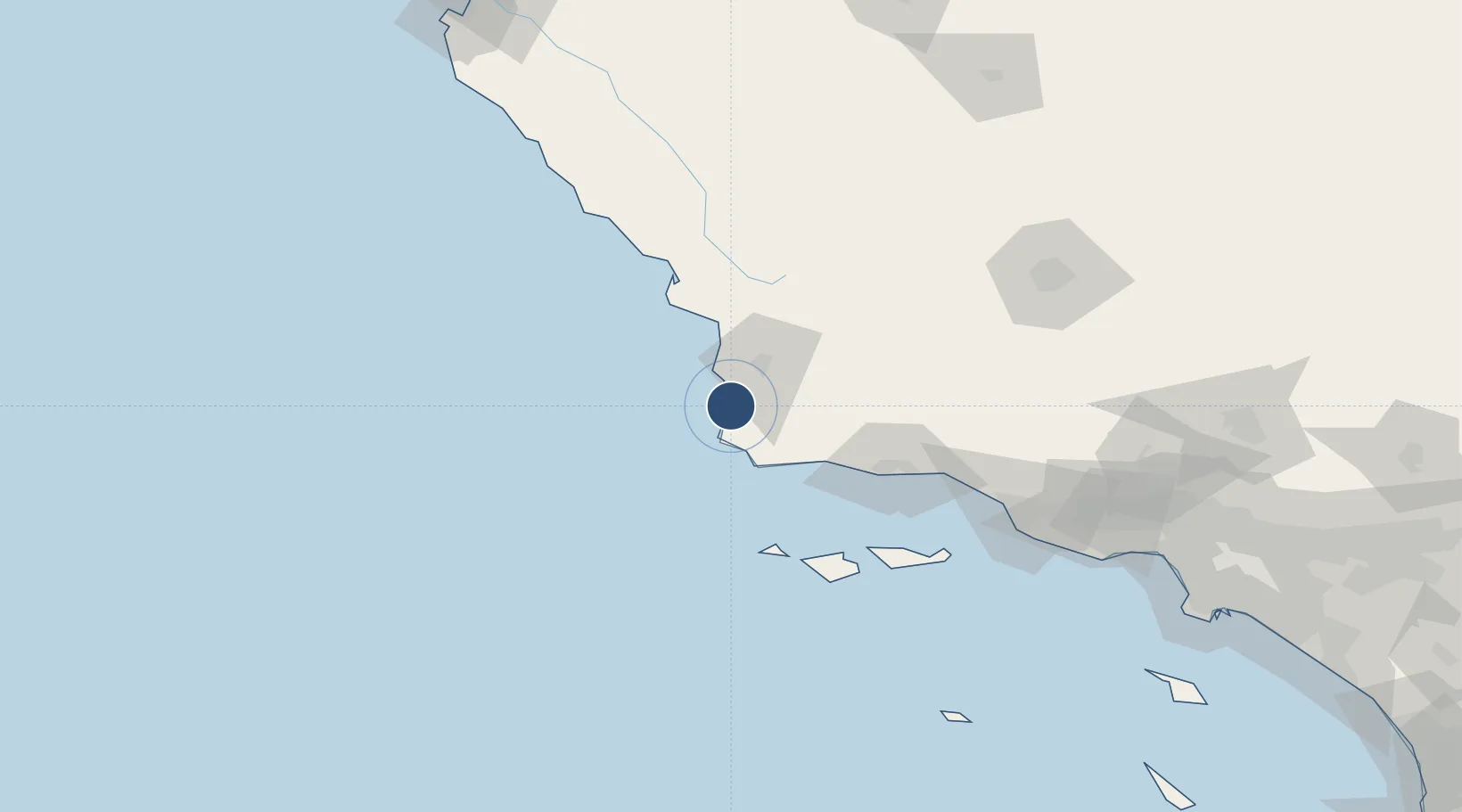
34.7373°, -120.5840°
15,000 ft
Longest runway
1
Runways
369 ft
Elevation
Runway & Layout

Radio Frequencies
ATIS
133.125 MHz
TWR
124.95 MHz
CTAF
124.95 MHz
A/D
124.15 MHz
SANTA BARB APP/DEP
ACP
31.1 MHz
COMD POST
GCCD
121.75 MHz
GND/CLNC DEL
MISC
121.4 MHz
RANGE CON
PMSV
34.24 MHz
PMSV METRO
PTD
126.2 MHz
Navaids
VBG TACAN Vandenberg 112.25 MHz
Runways · 1
| Runway | Dimensions | Surface | True heading | Lit |
|---|---|---|---|---|
| 12/30 | 15,000 × 200ft | Concrete | 136° | ✓ |
Airport Specifications
IATA code
VBG
ICAO code
KVBG
Airport class
Medium airport
Scheduled service
No
Runway surface
Concrete
Served city
Lompoc
Location
Nearby Logistics Neighbours
Airports
Cities
- 1Orcutt19 km
- 2Los Alamos28 km
- 3Point Conception34 km
- 4Grover Beach42 km
- 5Port San Luis50 km
Ports
- 1Pismo Beach44 km
- 2Port San Luis50 km
- 3Ellwood70 km
- 4Morro Bay74 km
- 5Santa Barbara90 km
Trade Zones
- 1FTZ No. 205 Port Hueneme143 km
- 2FTZ No. 276 Kern County159 km
- 3FTZ No. 191 Palmdale226 km
- 4FTZ No. 202 Los Angeles239 km
- 5FTZ No. 050 Long Beach247 km
DatabookThe Record of Consolidated Knowledge
United States beyond logistics?