Channel & Berth Profile
Pilotage, Tugs & Services
Pilotage compulsoryYES
Facilities & Capabilities
Container—
Ro-Ro—
Liquid bulk—
Dry bulk—
Oil terminal—
Break bulk—
Dry dock—
Repairs—
Bunkering—
Rail link—
Dangerous cargo—
ISPS security—
Harbour Specifications
Harbour size
Very Small
Harbour type
Open Roadstead
Shelter
Fair
Water body
North Pacific Ocean
Tidal range
1.2 m
Pilotage
Yes
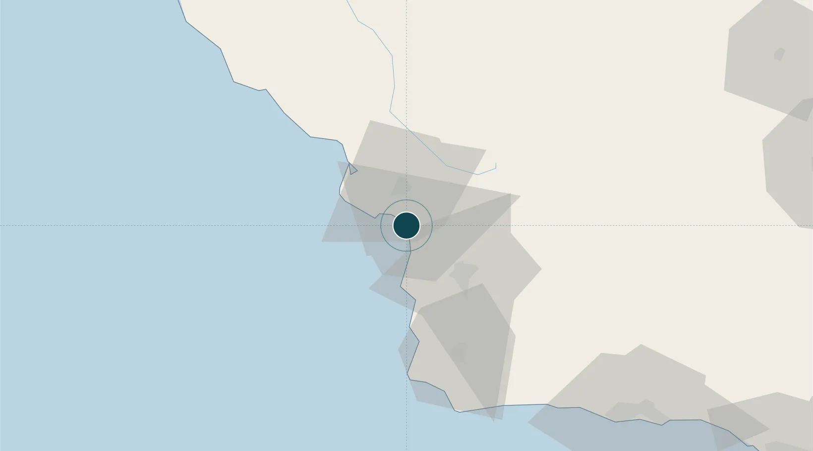
Location
Nearby Logistics Neighbours
Ports
- 1Port San Luis10 km
- 2Morro Bay32 km
- 3Ellwood103 km
- 4Santa Barbara119 km
- 5Carpinteria133 km
Cities
- 1Grover Beach4 km
- 2Port San Luis10 km
- 3Orcutt37 km
- 4Atascadero39 km
- 5Cayucos40 km
Airports
Trade Zones
- 1FTZ No. 276 Kern County151 km
- 2FTZ No. 205 Port Hueneme172 km
- 3FTZ No. 191 Palmdale239 km
- 4FTZ No. 226 Merced, Madera and Fresno Counties242 km
- 5FTZ No. 202 Los Angeles267 km
DatabookThe Record of Consolidated Knowledge
United States beyond logistics?