UN/LOCODE hub · United States
USGVB
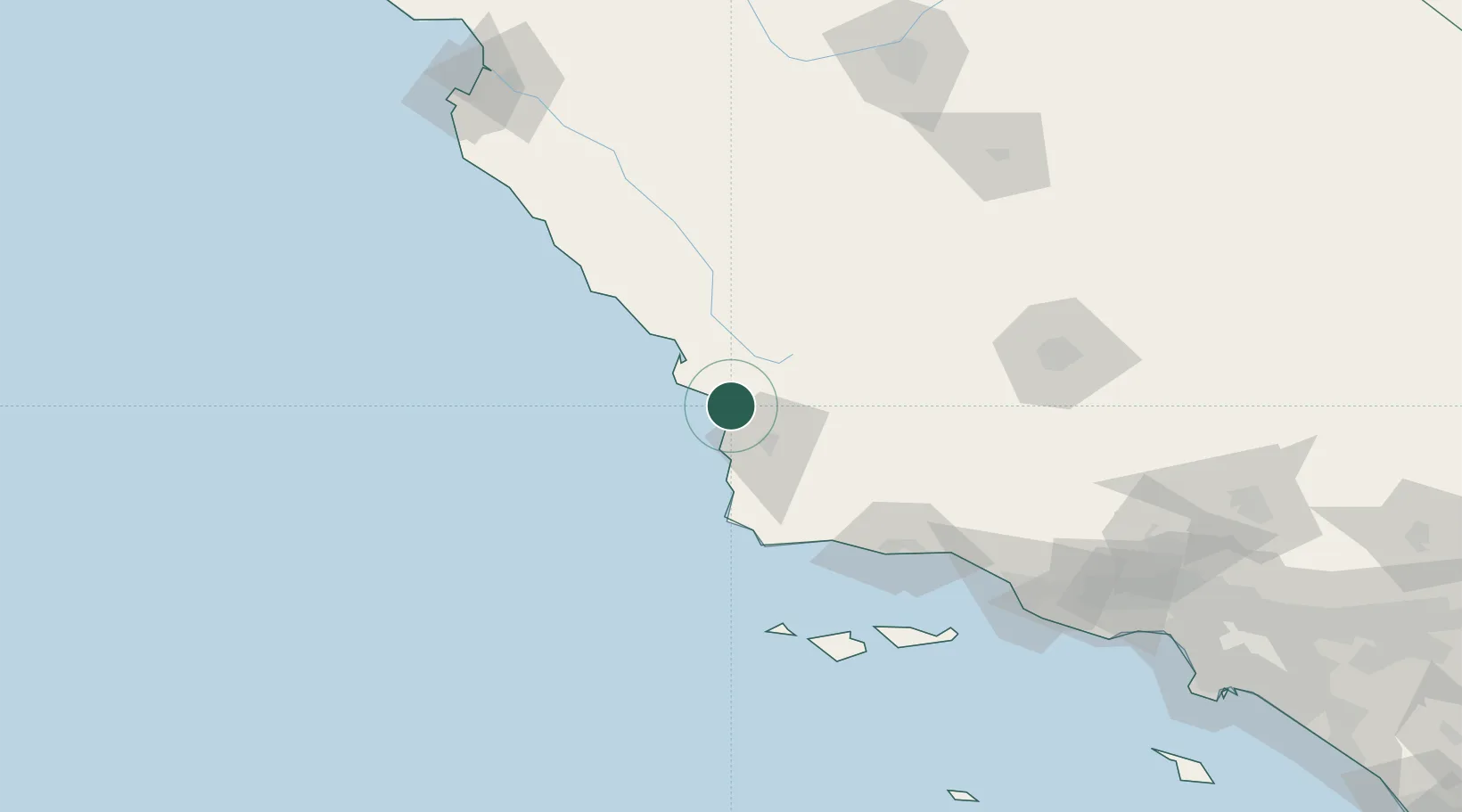
Grover Beach
35.1167°, -120.6167°
13,600
Population
3
Transport functions
Transport Functions
Port
Rail
Road
Hub Profile
Place type
Populated place
Region
California
Population
13,600
Time zone
America/Los_Angeles
Elevation
18 m
Location
Nearby Logistics Neighbours
Cities
- 1Port San Luis13 km
- 2Orcutt34 km
- 3Atascadero41 km
- 4Cayucos43 km
- 5Creston45 km
Ports
- 1Pismo Beach4 km
- 2Port San Luis13 km
- 3Morro Bay35 km
- 4Ellwood99 km
- 5Santa Barbara115 km
Airports
Trade Zones
- 1FTZ No. 276 Kern County148 km
- 2FTZ No. 205 Port Hueneme168 km
- 3FTZ No. 191 Palmdale236 km
- 4FTZ No. 226 Merced, Madera and Fresno Counties244 km
- 5FTZ No. 202 Los Angeles263 km
DatabookThe Record of Consolidated Knowledge
United States beyond logistics?