Medium airport · United States
Paso Robles Municipal AirportKPRB
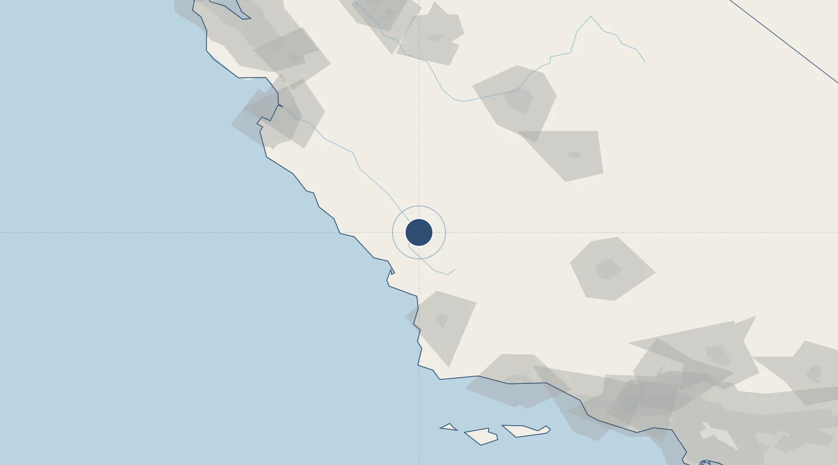
35.6729°, -120.6270°
6,008 ft
Longest runway
2
Runways
840 ft
Elevation
Runway & Layout

Radio Frequencies
ASOS
132.175 MHz
CNTR
128.7 MHz
OAKLAND CNTR
RDO
122.4 MHz
HAWTHORNE RDO
UNIC
123 MHz
CTAF/UNICOM
Navaids
PRB VORTAC Paso Robles 114.30 MHz
Runways · 2
| Runway | Dimensions | Surface | True heading | Lit |
|---|---|---|---|---|
| 01/19 | 6,008 × 150ft | Asphalt | 028° | ✓ |
| 13/31 | 4,701 × 100ft | Asphalt | 144° | ✓ |
Airport Specifications
IATA code
PRB
ICAO code
KPRB
Airport class
Medium airport
Scheduled service
No
Runway surface
Asphalt
Served city
Paso Robles
Location
Nearby Logistics Neighbours
Airports
Cities
- 1Creston20 km
- 2Atascadero21 km
- 3Cayucos35 km
- 4Port San Luis57 km
- 5San Lucas61 km
Ports
- 1Morro Bay40 km
- 2Port San Luis57 km
- 3Pismo Beach60 km
- 4Ellwood152 km
- 5Monterey154 km
Trade Zones
- 1FTZ No. 276 Kern County150 km
- 2FTZ No. 226 Merced, Madera and Fresno Counties182 km
- 3FTZ No. 205 Port Hueneme213 km
- 4FTZ No. 018 San Jose217 km
- 5FTZ No. 191 Palmdale259 km
DatabookThe Record of Consolidated Knowledge
United States beyond logistics?