Foreign Trade Zone · United States

FTZ No. 205 Port Hueneme Active

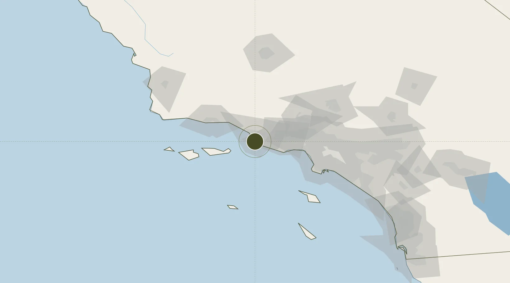
34.1510°, -119.2002°
0.1 km
Nearest port
5.6 km
Nearest airport

Gateway access

Nearest neighbours — logibook spatial index (haversine) over the source coordinates

Zone profile

Zone type
Foreign Trade Zone
Open Zone Map
Region
California
Open Zone Map
Status
Active
Open Zone Map
Management
Public
Open Zone Map
Operator
The Oxnard Harbor District
Open Zone Map
Legal framework
Foreign-Trade Zones Act
Open Zone Map

Location

Location of ozm-4798
Natural Earth 10m (public domain) · California · ozm-4798 · 34.15, -119.20GoogleOSMYandex

Nearby Logistics Neighbours

Ports
  1. 1Port Hueneme0 km
  2. 2Ventura17 km
  3. 3Carpinteria39 km
  4. 4Santa Barbara53 km
  5. 5Ellwood73 km
Nearest neighbours — logibook spatial index (haversine) over the source coordinates
Airports
  1. 1Oxnard Airport6 km
  2. 2Point Mugu Naval Air Station (Naval Base Ventura Co)8 km
  3. 3Camarillo International Airport12 km
  4. 4Van Nuys Airport66 km
  5. 5Santa Barbara Municipal Airport66 km
Nearest neighbours — logibook spatial index (haversine) over the source coordinates
Cities
  1. 1Port Hueneme1 km
  2. 2Ventura13 km
  3. 3Ojai33 km
  4. 4Fillmore37 km
  5. 5Summerland47 km
Nearest neighbours — logibook spatial index (haversine) over the source coordinates
Trade Zones
  1. 1FTZ No. 202 Los Angeles96 km
  2. 2FTZ No. 050 Long Beach105 km
  3. 3FTZ No. 191 Palmdale110 km
  4. 4FTZ No. 276 Kern County137 km
  5. 5FTZ No. 243 Victorville175 km
Nearest neighbours — logibook spatial index (haversine) over the source coordinates
DatabookThe Record of Consolidated Knowledge
United States beyond logistics?
Browse databook

All Sources

Trade ZonesOpen Zone Map
CC BY
Portsthe NGA World Port Index
Public domain (US gov)
AirportsOurAirports
Public domain
LocationsUN/LOCODE
UN/LOCODE — free
← United States trade zones