Medium airport · United States
San Luis County Regional AirportKSBP
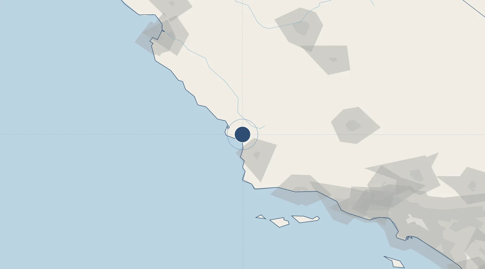
35.2368°, -120.6420°
6,101 ft
Longest runway
2
Runways
212 ft
Elevation
Runway & Layout

Radio Frequencies
ATIS
120.6 MHz
TWR
124 MHz
Tower - Primary frequency
GND
121.6 MHz
Ground
CTAF
124 MHz
APP/DEP
127.725 MHz
SANTA BARBARA APP/DEP
APP/DEP Backup
119.05 MHz
LOS ANGELES ARTCC - USE WHEN SANTA BARBARA APP/DEP CLOSED.
APP/DEP Backup2
269.5 MHz
LOS ANGELES ARTCC - USE WHEN SANTA BARBARA APP/DEP CLOSED.
CTR
119.05 MHz
LOS ANGELES CENTER
TWR2
379.9 MHz
Tower - Secondary frequency
UNIC
122.95 MHz
UNICOM
Runways · 2
| Runway | Dimensions | Surface | True heading | Lit |
|---|---|---|---|---|
| 11/29 | 6,101 × 150ft | Asphalt | 124° | ✓ |
| 07/25 | 2,500 × 100ft | Asphalt | 090° | — |
Airport Specifications
IATA code
SBP
ICAO code
KSBP
Airport class
Medium airport
Scheduled service
Yes
Runway surface
Asphalt
Served city
San Luis Obispo
Location
Nearby Logistics Neighbours
Airports
Cities
- 1Port San Luis13 km
- 2Grover Beach14 km
- 3Atascadero28 km
- 4Cayucos31 km
- 5Creston33 km
Ports
- 1Pismo Beach12 km
- 2Port San Luis13 km
- 3Morro Bay24 km
- 4Ellwood111 km
- 5Santa Barbara126 km
Trade Zones
- 1FTZ No. 276 Kern County149 km
- 2FTZ No. 205 Port Hueneme179 km
- 3FTZ No. 226 Merced, Madera and Fresno Counties231 km
- 4FTZ No. 191 Palmdale242 km
- 5FTZ No. 018 San Jose259 km
DatabookThe Record of Consolidated Knowledge
United States beyond logistics?