Transport Functions
Port
Hub Profile
Place type
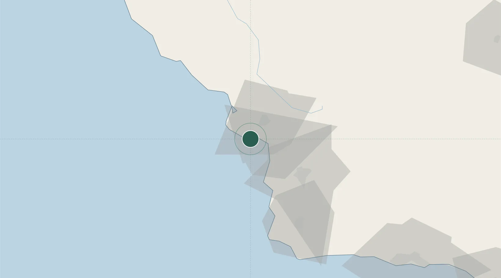
Populated place
Region
California
Time zone
America/Los_Angeles
Elevation
6 m
Location
Nearby Logistics Neighbours
Cities
- 1Grover Beach13 km
- 2Cayucos32 km
- 3Atascadero36 km
- 4Creston44 km
- 5Orcutt46 km
Ports
- 1Pismo Beach10 km
- 2Morro Bay24 km
- 3Ellwood112 km
- 4Santa Barbara128 km
- 5Carpinteria142 km
Airports
Trade Zones
- 1FTZ No. 276 Kern County159 km
- 2FTZ No. 205 Port Hueneme181 km
- 3FTZ No. 226 Merced, Madera and Fresno Counties239 km
- 4FTZ No. 191 Palmdale249 km
- 5FTZ No. 018 San Jose262 km
DatabookThe Record of Consolidated Knowledge
United States beyond logistics?