Channel & Berth Profile
Pilotage, Tugs & Services
Pilotage compulsoryYES
Pilotage availableYES
Potable waterYES
Diesel bunkersYES
MedicalYES
Garbage disposalYES
Facilities & Capabilities
Container—
Ro-Ro—
Liquid bulk—
Dry bulk—
Oil terminal—
Break bulk—
Dry dock—
RepairsNO
BunkeringYES
Rail linkYES
Dangerous cargo—
ISPS security—
Harbour Specifications
Harbour size
Very Small
Harbour type
Coastal (Natural)
Shelter
Good
Water body
Gulf of Mexico; North Atlantic Ocean
Tidal range
0.3 m
Overhead limit
Yes
Pilotage
Yes
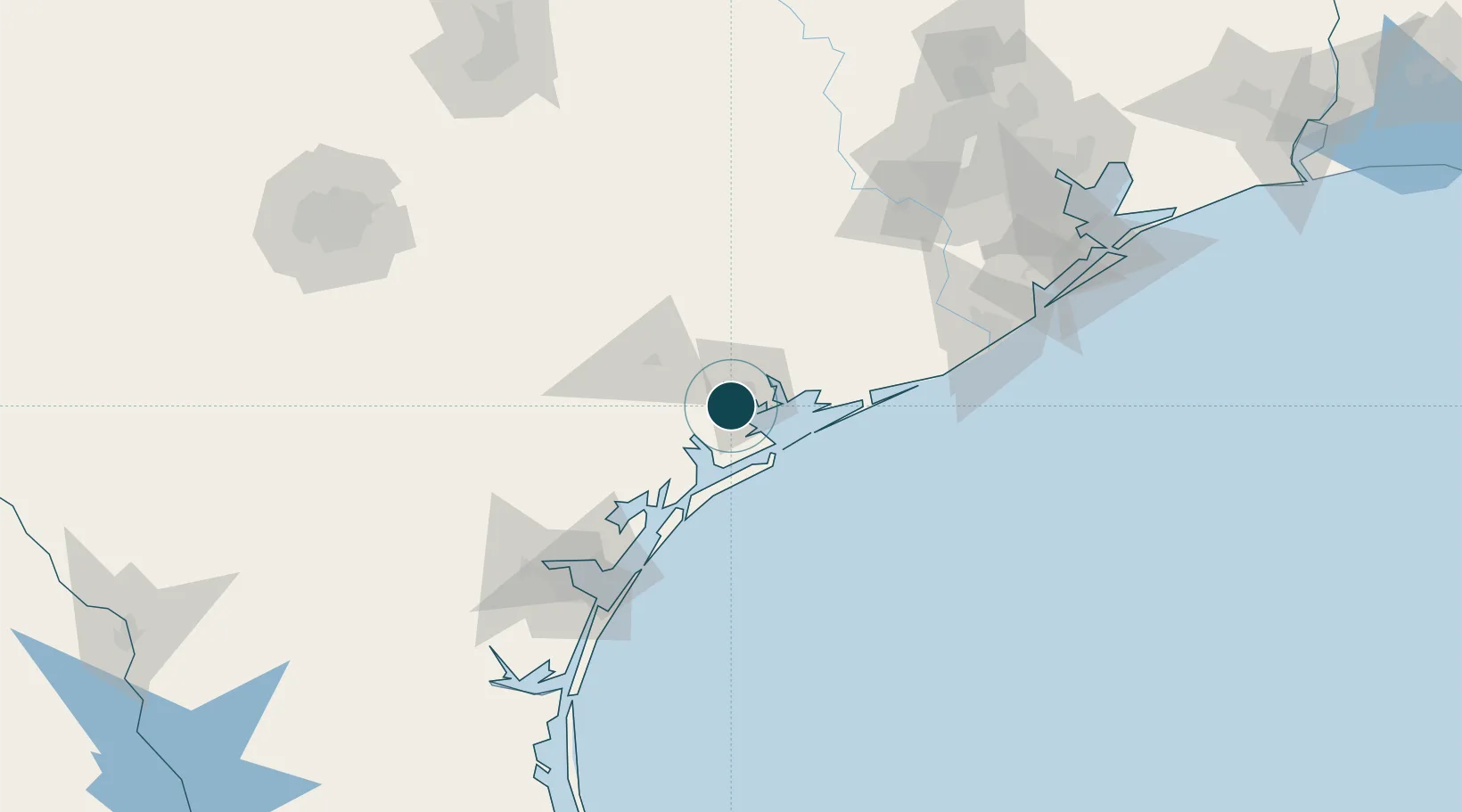
Location
Nearby Logistics Neighbours
Ports
- 1Palacios40 km
- 2Rockport79 km
- 3Port Aransas97 km
- 4Port Ingleside105 km
- 5Corpus Christi118 km
Airports
Trade Zones
- 1FTZ No. 122 Corpus Christi118 km
- 2FTZ No. 149 Freeport120 km
- 3FTZ No. 084 Harris County183 km
- 4FTZ No. 199 Texas City186 km
- 5FTZ No. 036 Galveston193 km
DatabookThe Record of Consolidated Knowledge
United States beyond logistics?